Grand Canyon Below the Rim, Day 4 – Up Bright Angel Trail to the Rim

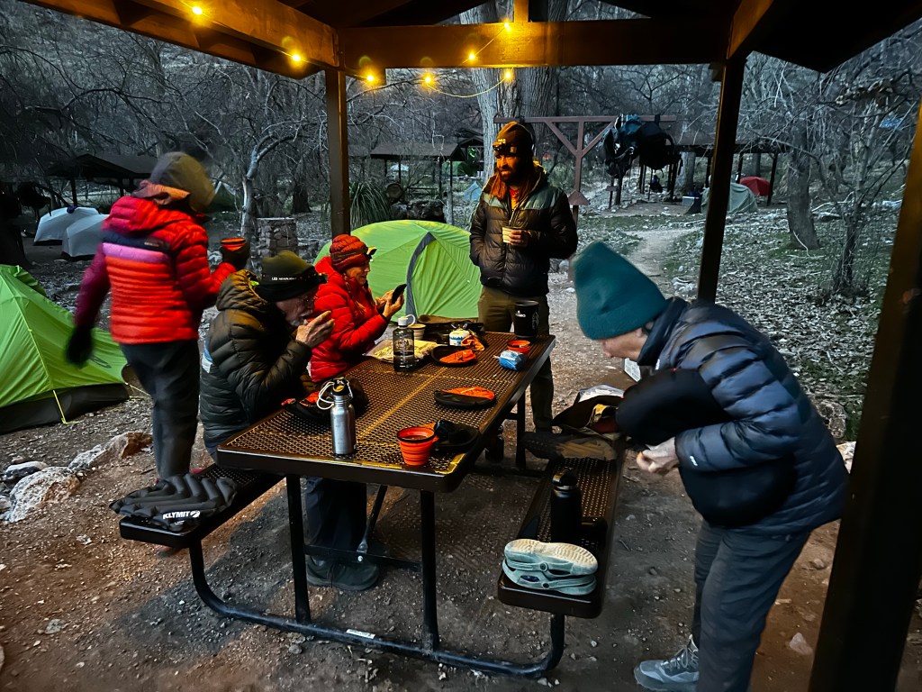
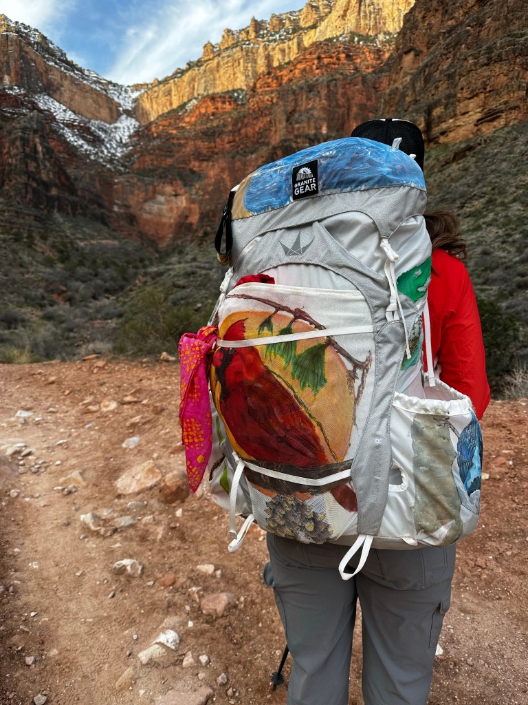
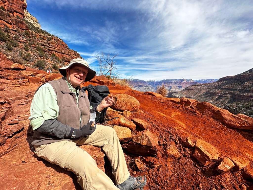
We begin our last day of 4 with a “hearty” 🙄 breakfast and coffee as we discussed our plans. Temp is about 37 degrees. Temp at the rim is probably 25 but will rise to 45 or so by the time we arrive 5.5 hours later. Be sure to click on the scenic photos below, to expand and enjoy.

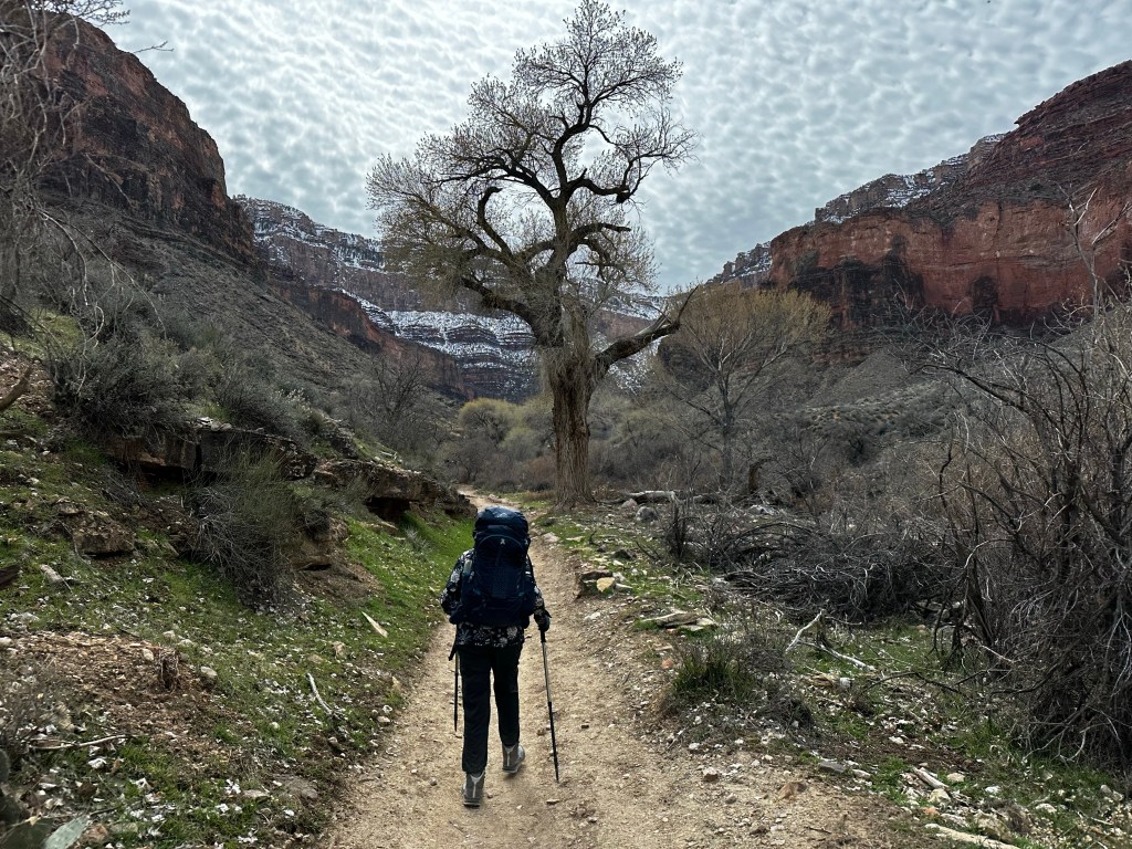
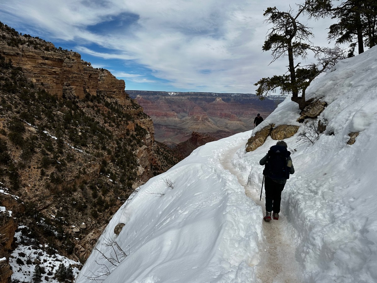
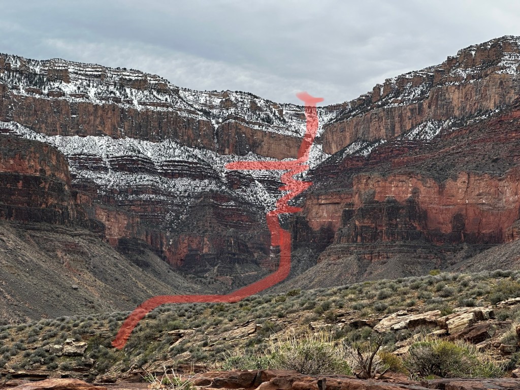
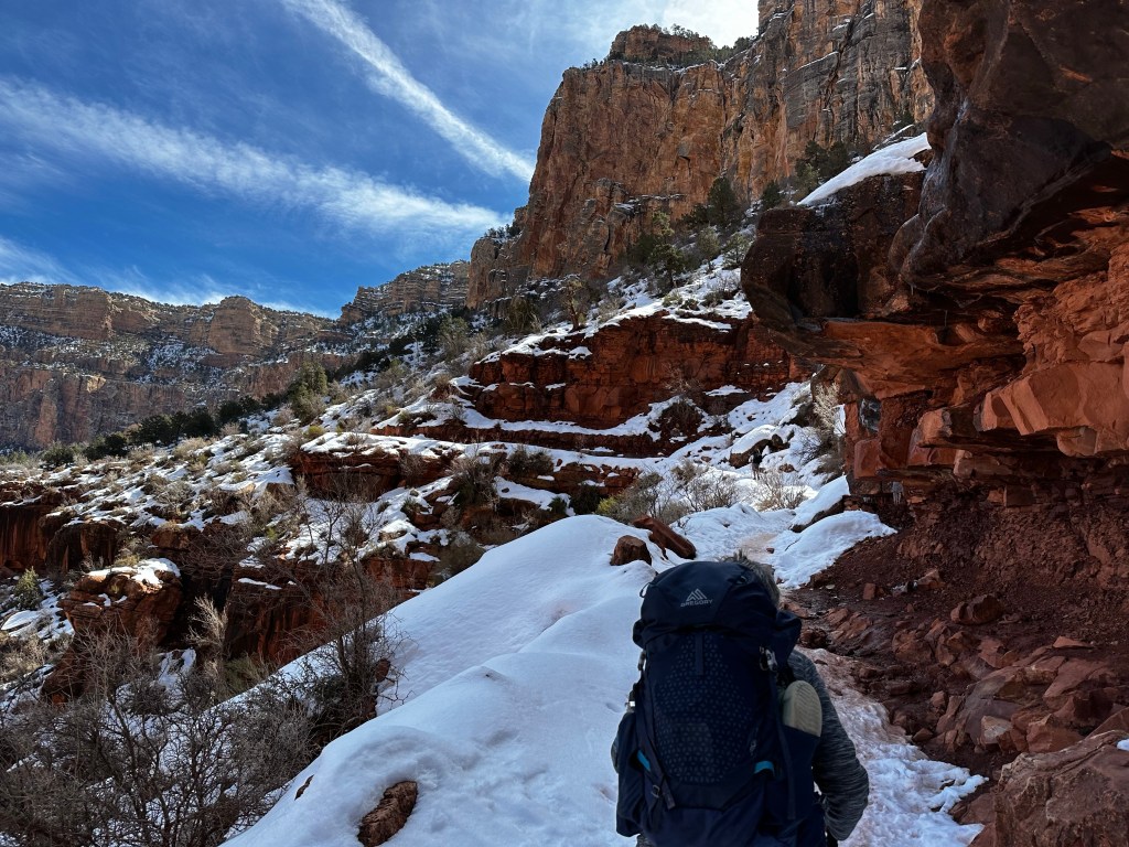
We break camp and pack up trying to get an early start on the 4 mile 3000 ft switchback hike pretty much straight up with snow the last 2.5 miles as you can see from the photo below. It appears daunting but doable.

Here is where we are going today.

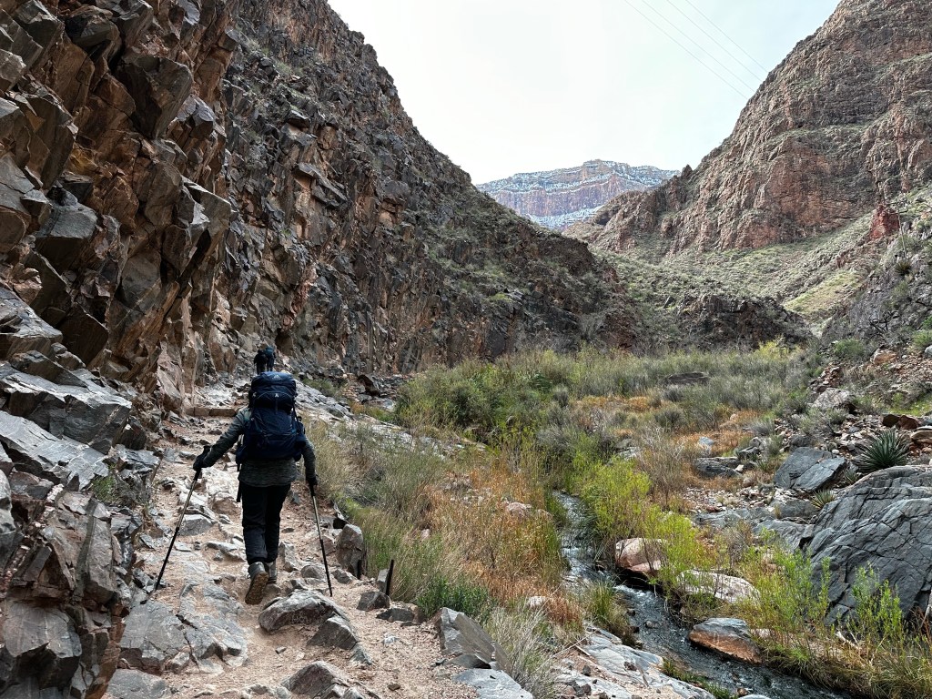
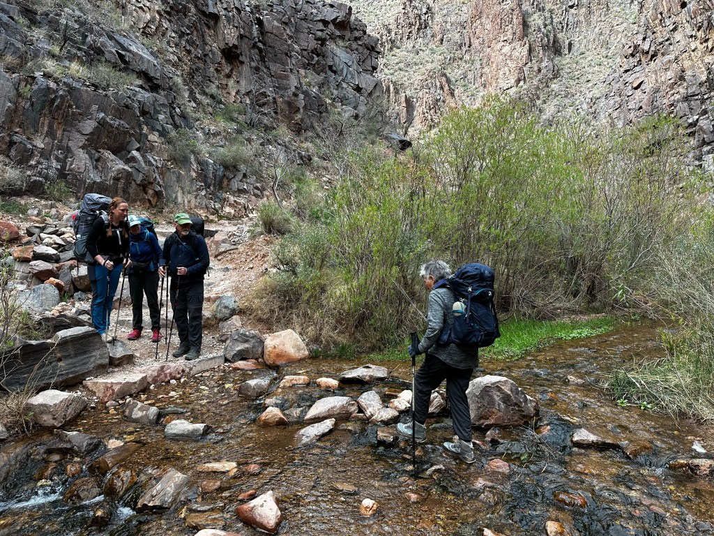
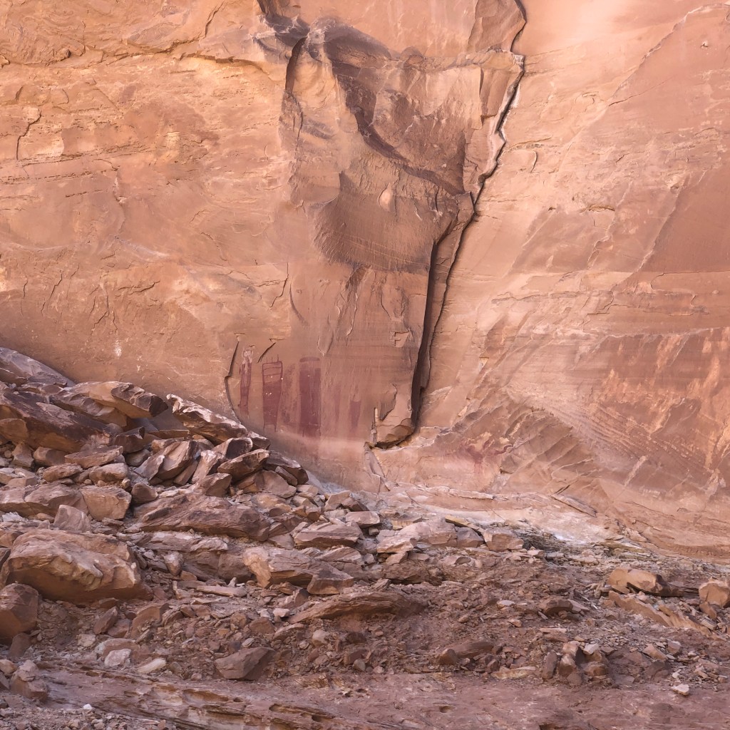
A perennial stream, Garden Creek, cuts through Havasupai Gardens, which is great for soaking aching shins. But there’s an even more significant water source here—a pump house. (Photos below from the internet).

What is truly amazing is that this water travels thru a 16-mile pipeline from a natural spring about 3,500 feet below the North Rim, across the Colorado River and up to Havasupai Gardens. From there, it is pumped to the South Rim, without which there would be no water on the South Rim where a large portion of the 6 million who visited the park in flushed toilets, took showers and filled water bottles.

Looking back north and down toward the Havasupai gardens camp

A little side note: we were told of the 6 million visitors annually, 1 percent or 60,000 walk at least a little ways below the rim. Of that, only 10% or 6,000 hike to the bottom. Wow. Pretty rare company I guess.

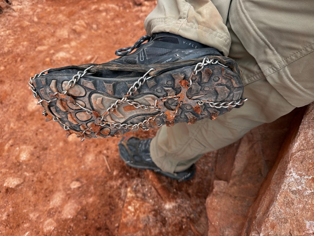
The first mile let us get warmed up for the switchbacks. Then the fun begins as much of the trail is shaded, a but muddy here and there AND, definitely icy. Some parts get sun but not much so we stopped in the one place for sun to take our major break. Glad we did.

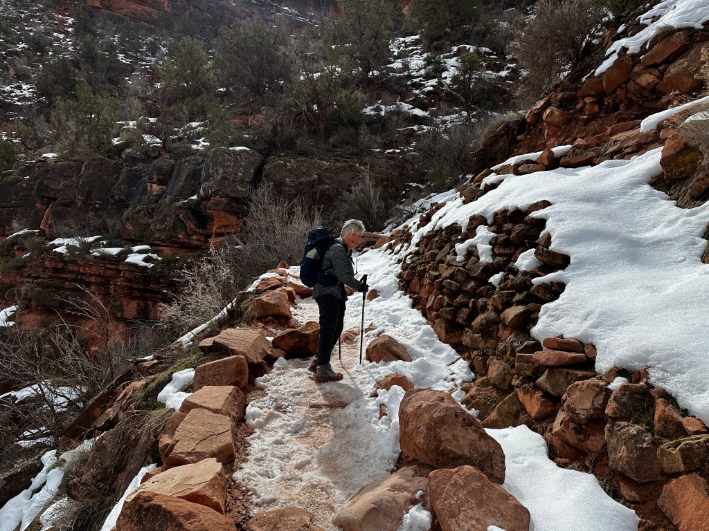
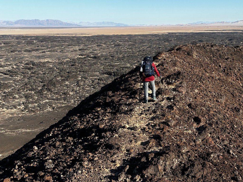
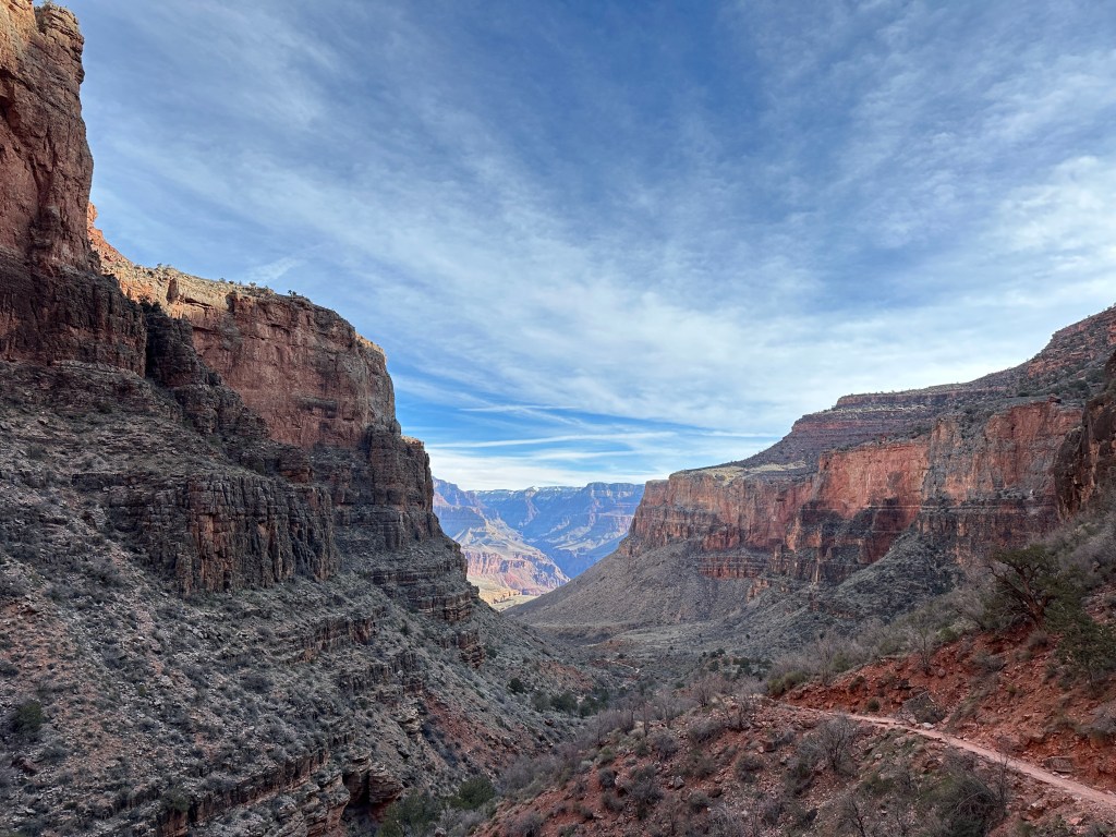
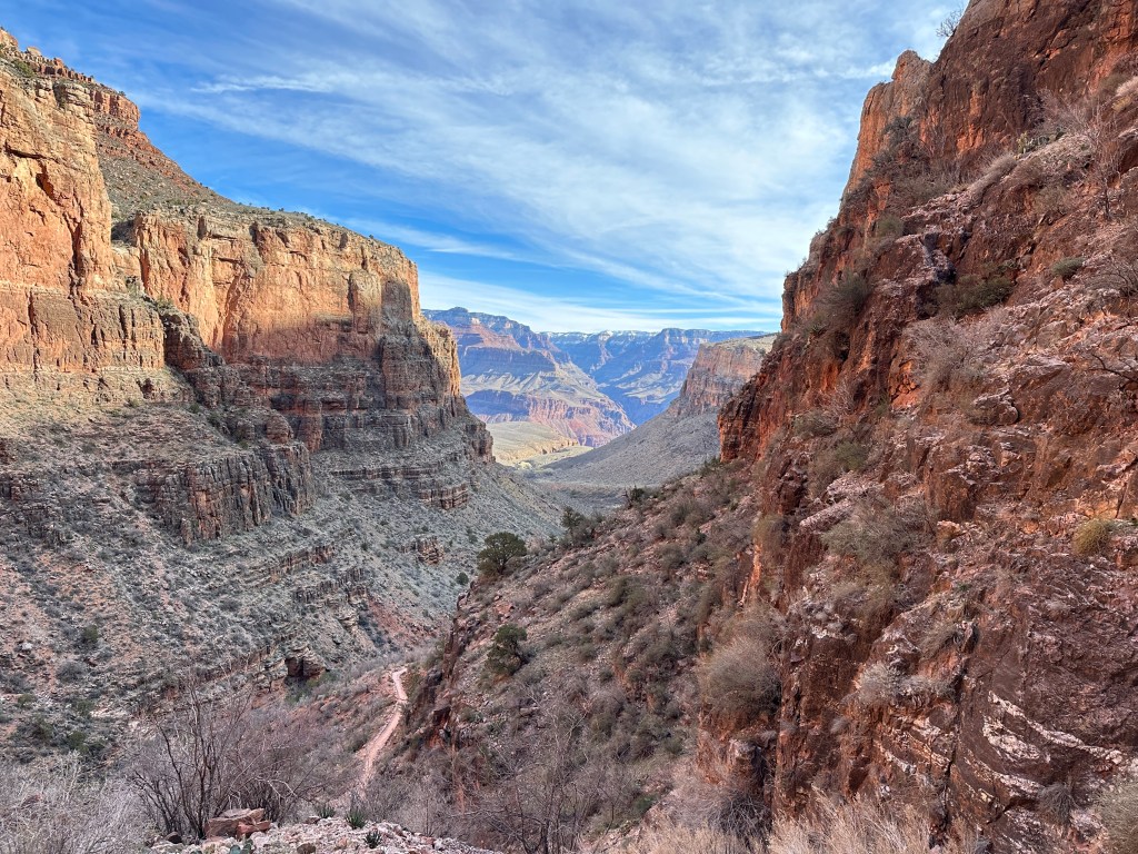
Up the switchbacks we go. Not a lot to tell here. Huff Puff! The photos do the speaking.

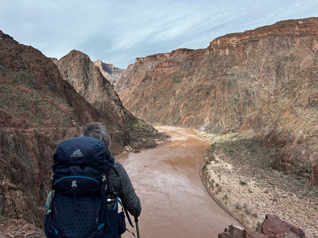
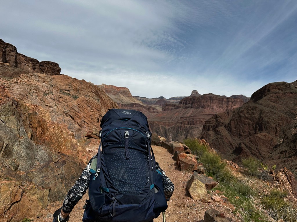
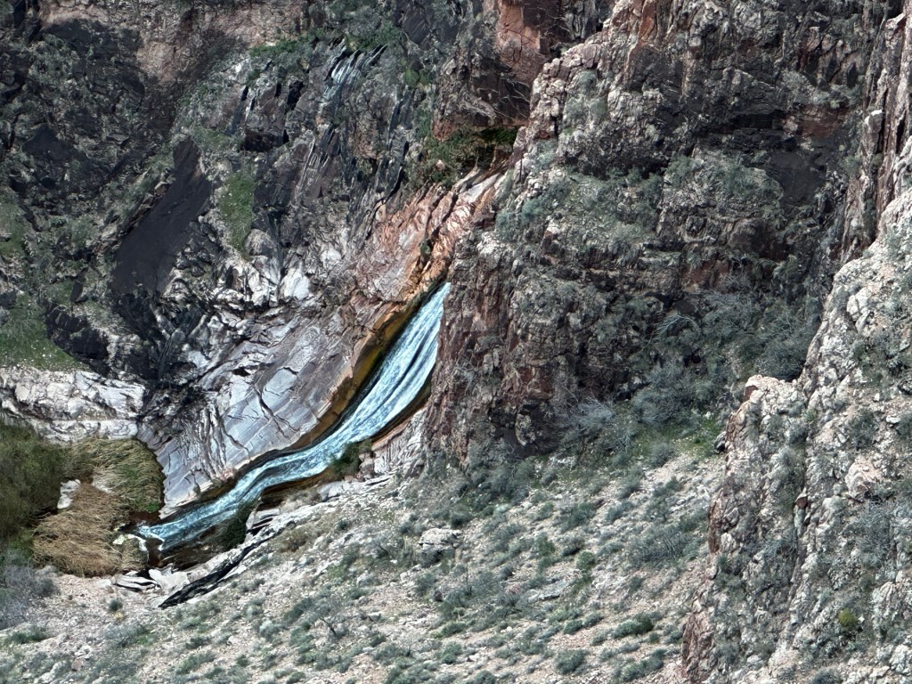
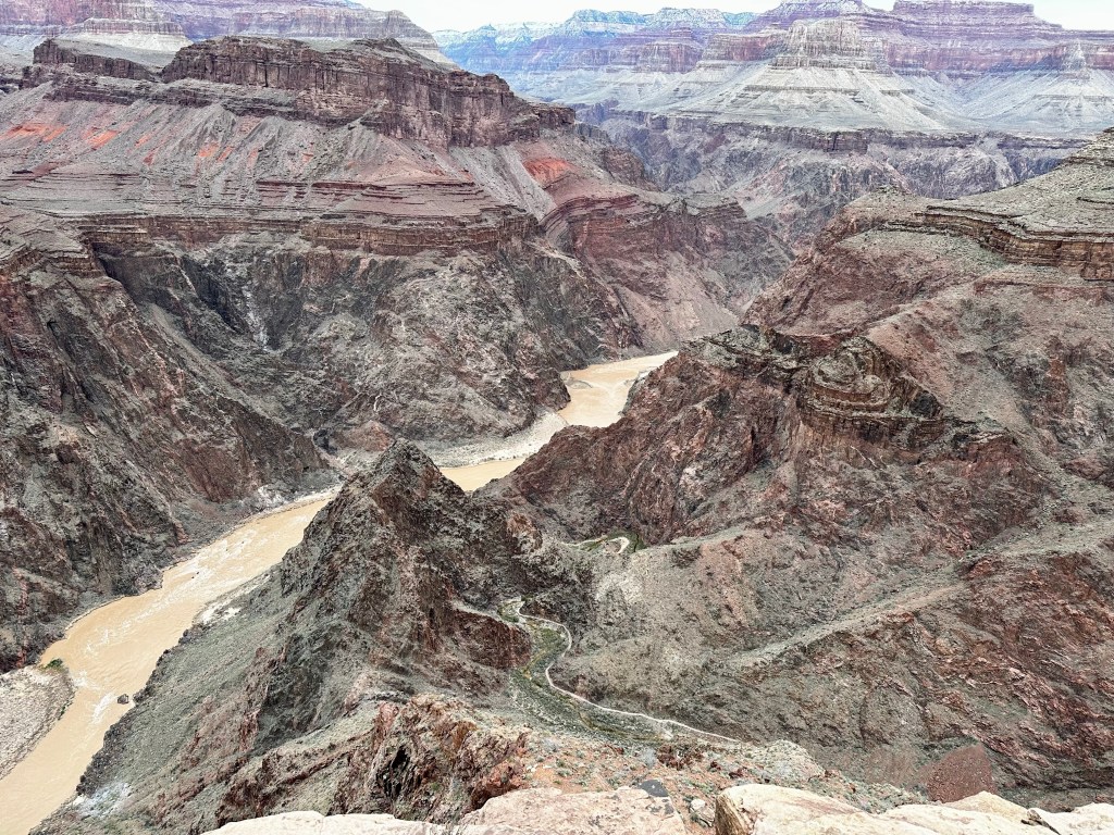
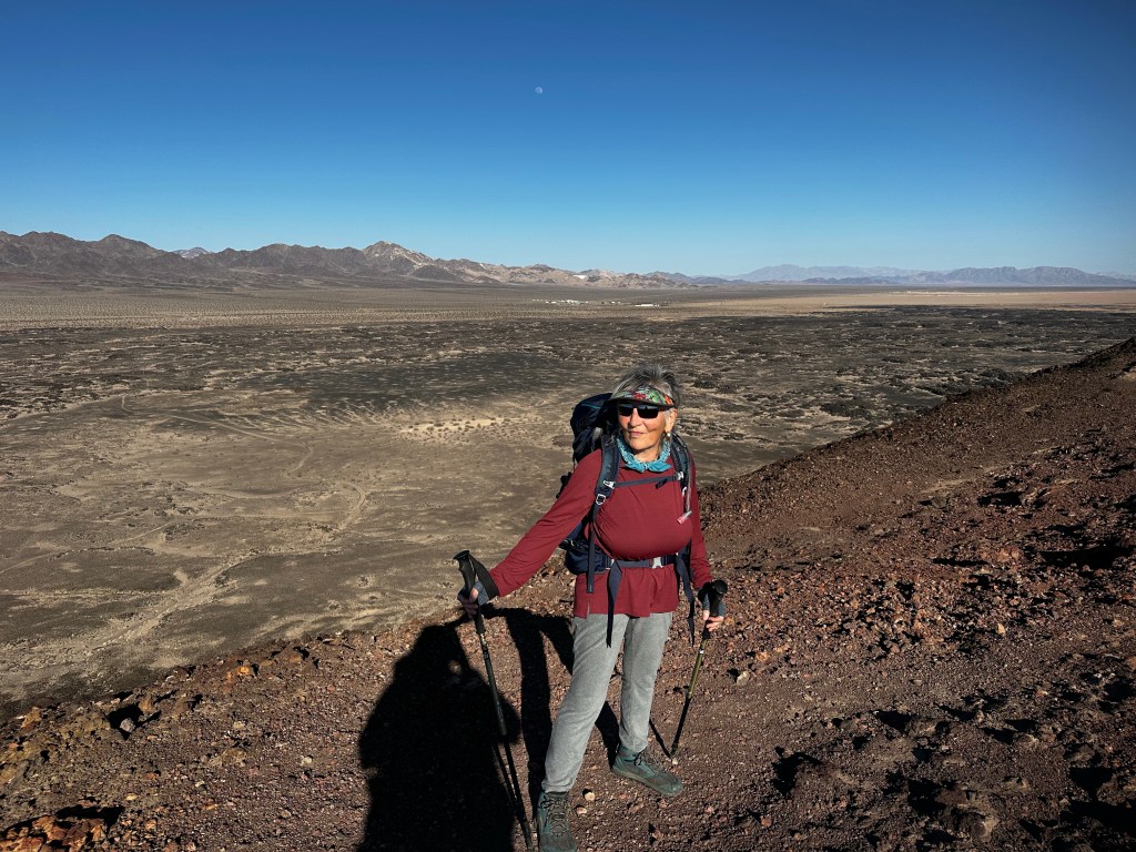
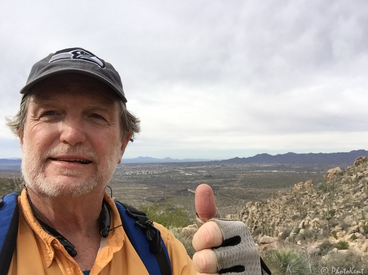
I stopped several times to look around and take a snapshot of the view of the deep canyons

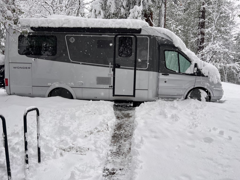
Eventually we made it,but didn’t get a photo right at the top of the trailhead right near Kolb Studios. We celebrated, then headed directly to the shuttle bus station, ready for a shower back at the the van….which we hoped survived the cold during our trek and it did so admirably. We had left the electric heater turned on low, the Truma water heater on Eco (42 degrees) and it survived the 25 degree nights with 40 degree days. YAY!

Relief at the shuttle bus stop awaiting our chariot to the shower.

We did it!!! Not bad for a couple old farts approaching mid-70’s who hadn’t backpacked for almost 40 years. About 25 miles total in 4 days. 5000 feet down and 5000 feet up. 3 nights in a very small tent (ask us about it 🤣). We were ready to celebrate with a good meal at El Tovar Lodge with our companions. I will do a postmortem in a day or so for those interested. Suffice it to say we are glad we did it and tent camping is probably not in our future. All in all it was amazing and satisfying. Over a week later, we are still in recovery.

Our group. from the left, Kent, Sraddha, Kendrick, Mandy, Jan, Dave. The Crème Brûlée already disposed of.

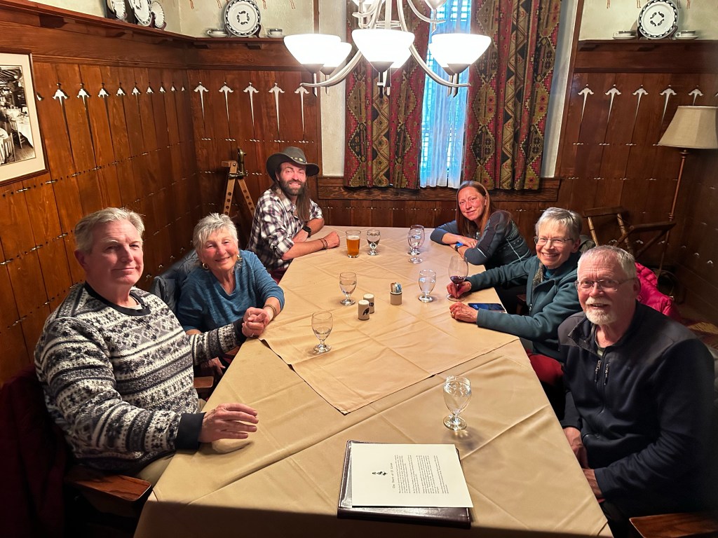
We want to thank our guides, Mandy and Kendrick for their patience, understanding, expertise and support along this journey. We couldn’t and wouldn’t have done it without you. Their website is https://www.mandyleaphoto.com/

Grand Canyon Below the Rim, Day 3 – Up To Havasupai Gardens

Today we hike 4.5 miles ascending 1,400 feet up to the Havasupai Gardens (formerly called Indian Gardens) Campground. For the first mile or so, from the Bright Angel Campground to the traverses exposed sand dunes, then across the silver bridge across the Colorado River, and west through more sand dunes to the Pipe Creek/River Resthouse area. The pipe under this bridge carries all the water supporting the south rim.

More sand dunes keep us busy for another mile on south side of river with various examples of the Vishnu Schist, the oldest formation in the canyon at 1.8 billion years. Talk about ancient.

From the Pipe Creek resthouse, the trail turns south following a creek through a meandering gully of water-sculpted stone and shimmering cottonwood trees.

From the NPS website: “While the South Kaibab Trail follows a ridge line, the Bright Angel Trail conforms to a fault, keeping to the back of the canyon during the first few miles. Views on the Bright Angel Trail are framed by massive cliffs, and by virtue of being a shadier trail with natural water sources, there is more plant life and animal life along the Bright Angel Trail than on the South Kaibab Trail. The majority of this trail’s elevation change takes place in the upper four miles of trail via a series of switchbacks that can seem endless.”

The trail becomes steep once again where this gully empties into the broad, bowl-shaped Pipe Creek drainage. This section of switchback trail, affectionately referred to as the Devil’s Corkscrew. And we could see why and I wouldn’t exactly say “affectionately” 😉

We continue up through some limestone following Garden Creek to the Havasupai Gardens Campground where we spent the night. Traditionally this was a key native American site where families lived and grew all kinds of vegetables and crops with the year round water. It is also the current location of a major NPS water pump station.

After making camp, we headed out the 3.2 mile round trip “stroll” to Plateau Point, to view the river from a different perspective and eat our meager dinner in the wind. I had a surprisingly decent Phad Thai (as good as it can be when you just add hot water) We saw a California condor fly over. Condors are one of the nations best animal comeback stories. In 1982, there were only 22 California condors left in the world.

South rim. The highest point on left is Yavapai Geology Museum. We go up that canyon tomorrow.

Now there are about 400 Condors within the states. Returning after dusk, using headlamps, we gazed up at the lights of the Yavapai Geology Museum 3,000 above. Time to turn in, and rest for the final day tomorrow of 3,034ft climb in 4.5 miles.

Off to the Canyon

Yesterday, we headed out late morning after a 2 day dig in the snow. We made it to Orange Grove RV park just south of Bakersfield by 7 o’clock. Enroute to the Grand Canyon south rim where we plan to spend 4 days hiking down into (and out of).

Digging out

This morning, we walked around the park picking oranges (yes, it isan Orange grove) with my cousin, who rendezvoused with us there on his route north. Fun to see them. Rving in their 80’s and had delicious oranges too

We proceeded east over Tehachapi via Barstow to Amboy crater.  

We stopped in Barstow for fuel and had a “Barstow Walmart“ experience.  Hard to describe that in an email, you had to be there.

 Amboy crater is on the eastern side of the Mojave desert on the old route 66 highway,an old cinder cone from many eons ago. We shouldered our canyon backpacks as a little preliminary hike before heading out to the Grand Canyon. 4 miles later we felt pretty confident that we could do the canyon 

Up on top
Treacherous narrow rim. It gets worse.

That’s is that is assuming we could stay upright. Very steep and narrow. Easy without the packs, Treacherous (never again) with. 

Now, as the evening sun sets over the Mojave desert, and the golden light illuminates the beautiful boulders and dry landscape, we proceed along the highway down the hill towards the Colorado river atNeedles, California (also known as to us as Noodles,California), where are we will encamp for the night

Tomorrow we head up to the Canyon. We will encamp I’m Trailer village. Hi temp is 40, low is 20 or well 🙈. From experience we think if we keep plugged in with heater on, we will be ok. Daytime above freezing and☀️☀️to warm the van.

Prayers willingly accepted. (Memo to Kent: “what were you thinking when you omitted to this?”)

More later, assuming we don’t get run off the road by sleepy truck drivers on I-40. Ah, the life. 

Sraddha and Kent

Welcome to Chez Swell. Sand is our specialty.

In Chez Swell, located in the the San Rafael Swell in central Utah, we have a smorgasbord of sand for your delight. You can look at it, walk on it, wipe it out of your eyes and ears, shake it out of shoes, clothing, car, van, bed, dishes, brush it off your phone, wash it off your bike.

Basically it is everywhere. And the wind tunnel that is central and southern utah ( and frankly most of western USA, delivers it in very fun ways.

Up near Temple Mountain in the San Rafael Swell, Utah

The flavors vary depending upon location. The whole Colorado plateau encompassing western Colorado, southern Wyoming, eastern Nevada, much of Utah, and northern Arizona is sand in various forms. It came from ancient seas and lakes and rivers formed by the various tectonic plates moving around. 

Near Goblin Valley, Utah. San Rafael Reef in distance

How about some 2 billion year old Moenkopi sand on your plate found in Buckhorn draw?

What about Wingate sand from the majestic sandstone cliffs of the xxx period formed when seas rescinded forming a Sahara like desert in between the Rockies and what is now Nevada? These are seen everywhere.

Sandstone cliff

Earlier in the week on Monday, we were encamped in a little hoodoo like alcove across from the San Rafael reef. (Beautiful isn’t it?) 

Wind is blowing and we close our eyes, feeling like Lawrence of Ananda (haha). Such is life of the traveler. Like getting caught in a ice storm only it’s 80 outside and wind gusting to 30 as another front moves through. No wonder this place is only suitable for tourists!  

Time to entreat to the safe confines of Mighty Wonder Van where it is not so sandy. Except for the thin layer of sand on everything.

Sand on my outdoor Moon Chair


Such Tapasaya! Om Guru.

The resident gourmet chef prepares sautéed Napa cabbage with Ginger and the dishwasher pulls out his mundane Walmart macaroni salad. A few slices of pre baked protein round it out. Remember to eat your veggies while traveling. They help with regularity. 

Tuesday, the wind died down to a low comfortable breeze. Daytime Temps in 70’s. Night mid 40’s. We hiked Little Wild Horse slot canyon which is arguably the most popular hike in the swell. Two canyons go clear thru the reef the you hike in between in back side. 9 miles.
Here is link to video of the hike

Little Wild horse Canyon

Wednesday, we headed towards Capital Reef just south of the Swell. More reefs, more sand. Avast yea mateys.

We had considered heading to Bryce but decided to remain in Capital Reef. The park campground, Fruita was full of course but we did managed to dump tanks and take on fresh water for $5. Such blessings🙏🏻
We also did one brief hike of 2 hours 3 miles 

Driving thru the reef in early morning to refuel in Torrey.

Now we are encamped in a BLM area east of park up on a bluff where we have an amazing view of the east side of the reef. With its Navaho Sandstone sticking up like worn off teeth.

Capital Reef in background

No cell so will send this Thursday then route back to the Swell sandbox for some more gourmet sand.
{LATE BREAKING NEWS!}— after morning meditation and caffeine it was decided we will drive south down the Eastern back side of capital reef to Bullfrog, Utah where the Lake Powell ferry will take us across then on to Natural Bridges and Valley of the Gods in SE AZ. 😳
Not sure of cell service but will check in sometime and we will still be home on or before Tuesday. 🙄🤞🏻

Driving thru Capital Reef
Camping in Valley of the Gods near Bluff, Utah (founded in 650 A.D.)
Swimming in Lake Powell Upper end. Bullfrog, Utah

🙏🏻Blessing from the sand pile
Sraddha and Kent

Pre wash

First Flying Video

Received my new DJI Mavic Pro quadcopter late December and have been learning to fly.  Since I never played video games, my eye-hand coordination leaves a bit to be desired.  Still it just needs practice, and after some, I ventured up into the Catalina Mountains to the Romero Pools to fly and film.

Quite a little challenge and learned a lot including, as you will see, on very important lesson in this video.  Hope you enjoy.