I know, this is 2024 and i forgot to publish so here it is. Stay tuned for 2025.
January 2024 — Dealing with a back flare up from early winter which pretty much knocked me out of commission for about 8 weeks. Stenosis due to old age and the body out of warranty prompted numerous trips to doctor(s) followed by injections and meds and PT and lots of body deep tissue massage. I started to come out of it but no travel. Able to serve in several capacities not requiring much physical effort. the good news is by late 2024 it was under good pain management with out serious drugs involved and i have learned how to function pretty much as before (this is written in Feb 2025). Didn’t get to take birthday trip to Morro Bay tho 😕 as i couldn’t ride bikes


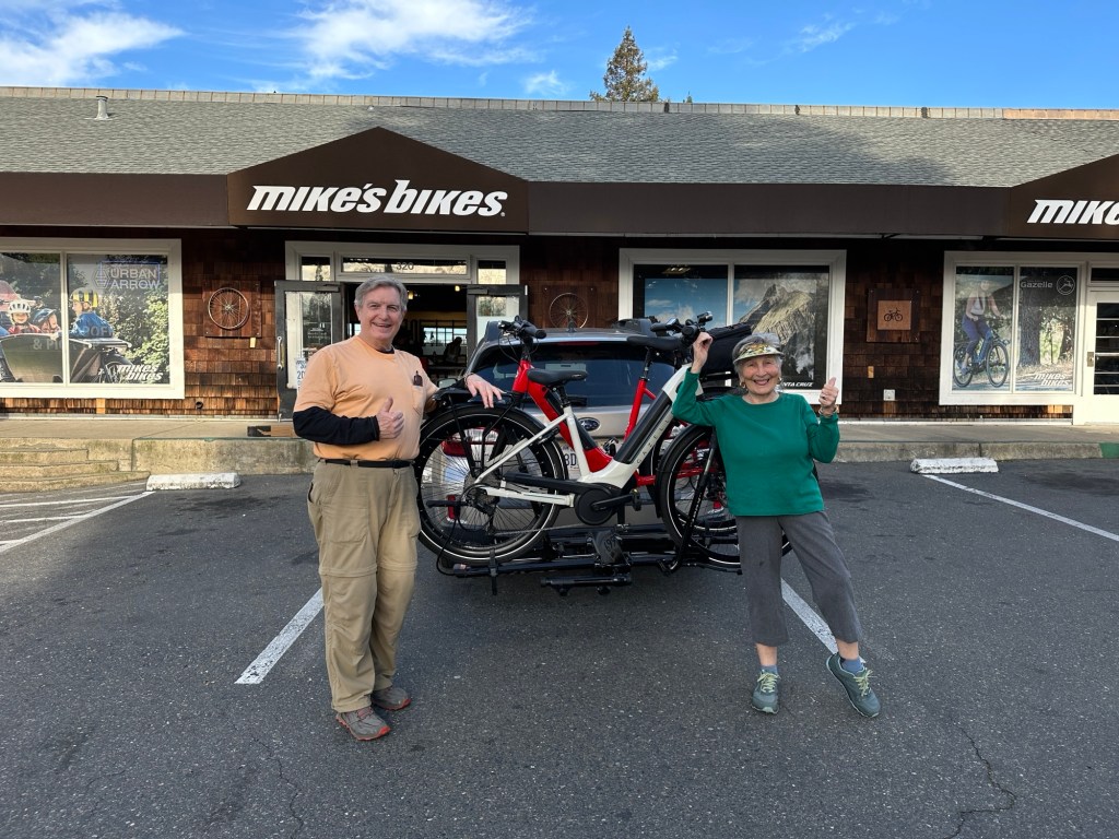
February — Began to feel more normal again but still not going anywhere. Sold our mountain bikes, and road bike and bought Gazelle Step through e-bikes. Ananda held its week long Inner Renewal week with many guest speakers and activities. Was able to attend morning talks and serve in my usual capacities. Tax season looms as usual. No trips yet. Last trip was October 2023.


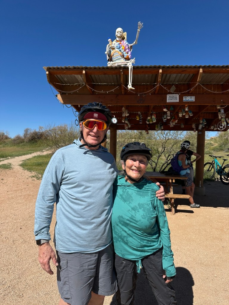
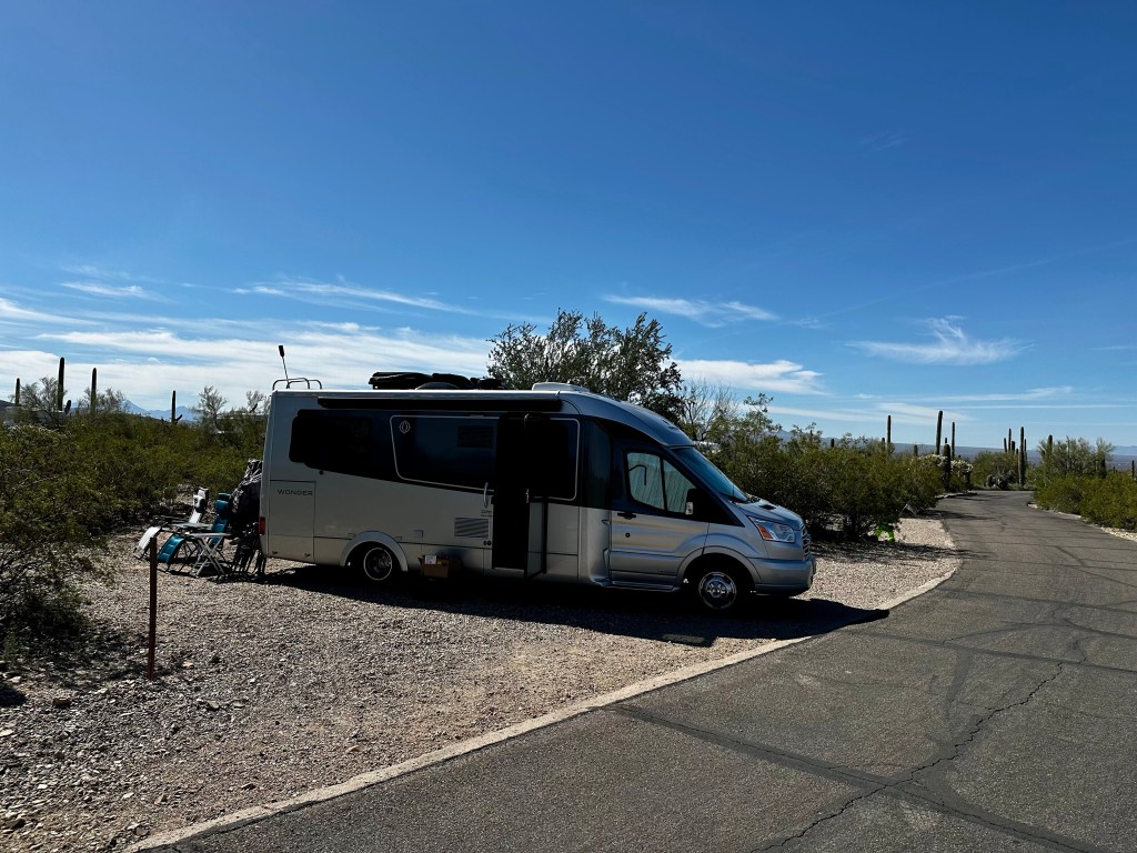
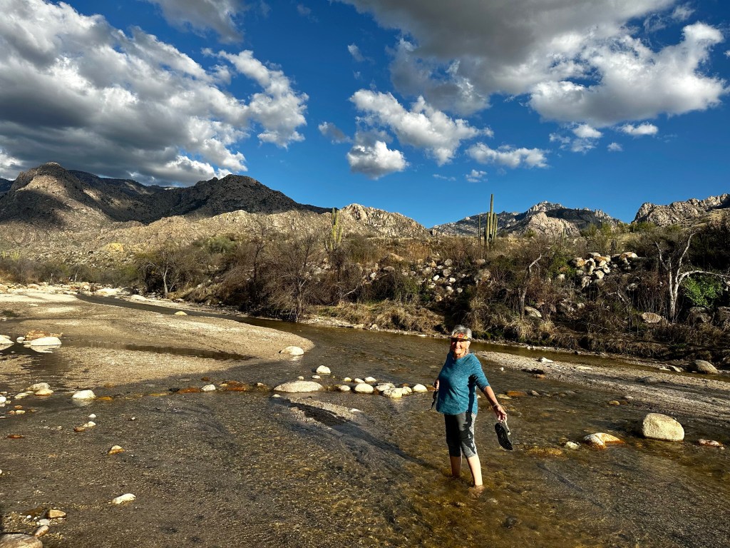
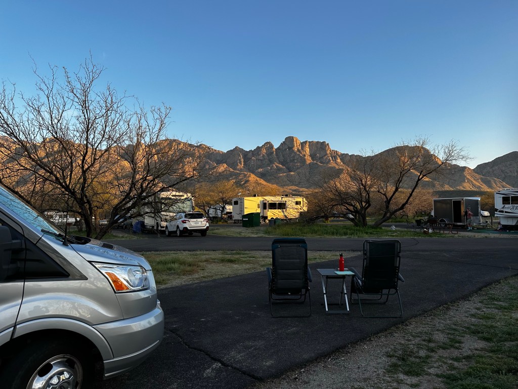
March — Light at the end of the tunnel here. Some additional medical procedures and, of course body work helped me begin to feel this body might last a few more years. We headed south to our usual haunts in Tucson. Catalina State park and McDowell Mountain County park NE of Scottsdale. I was able to ride the new bike easily and began to recondition the body for longer rides.
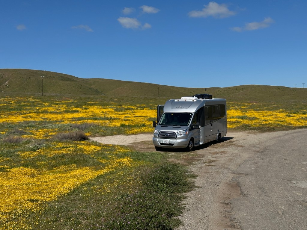
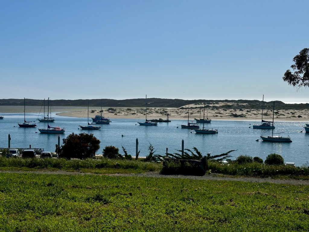


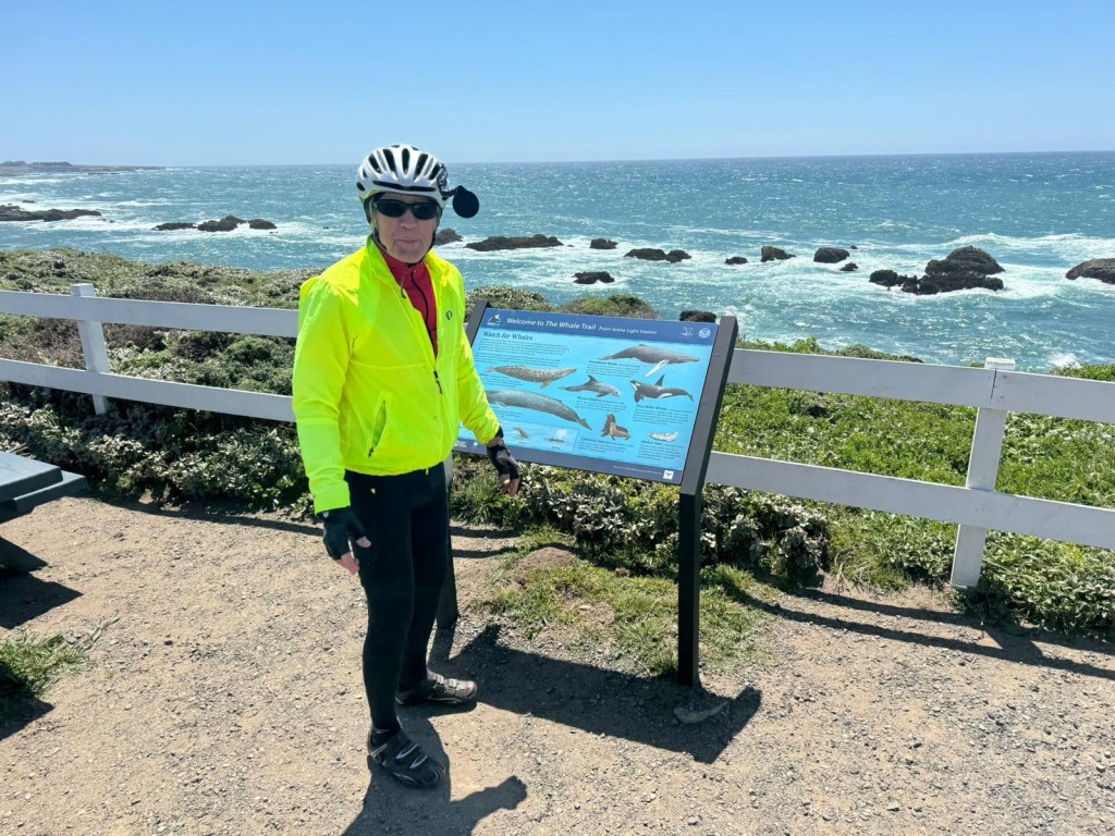
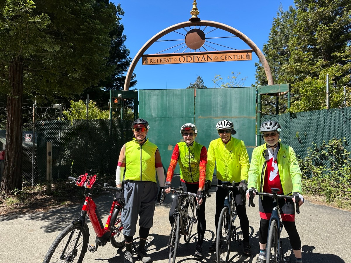
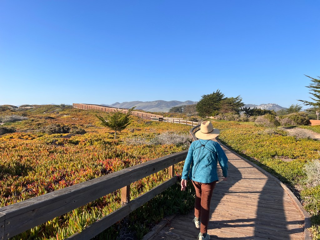
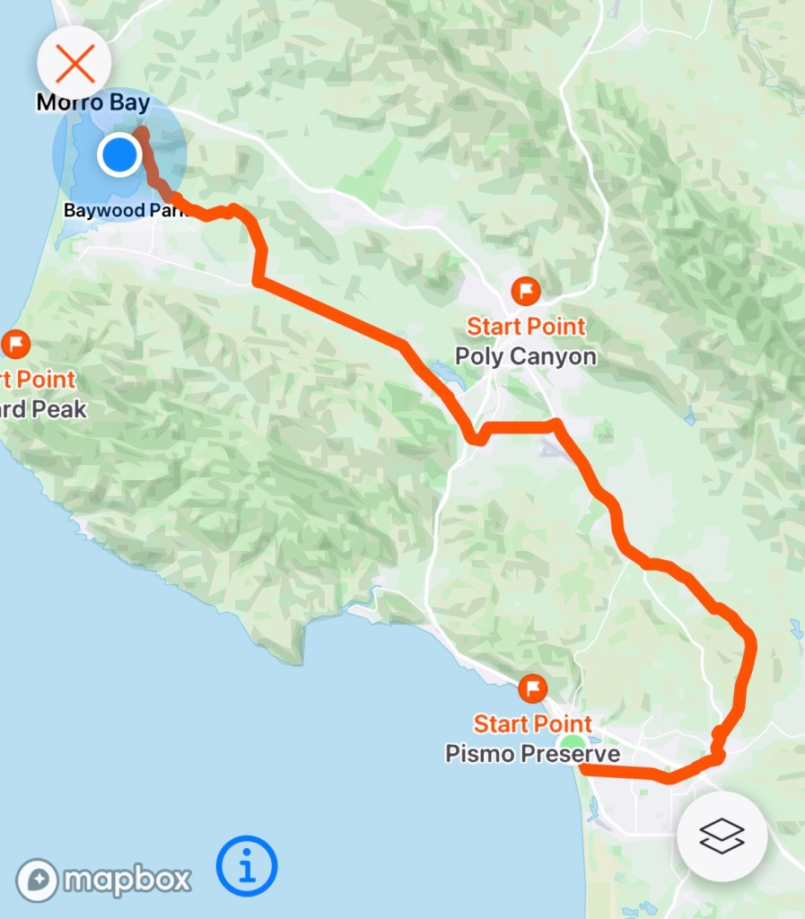
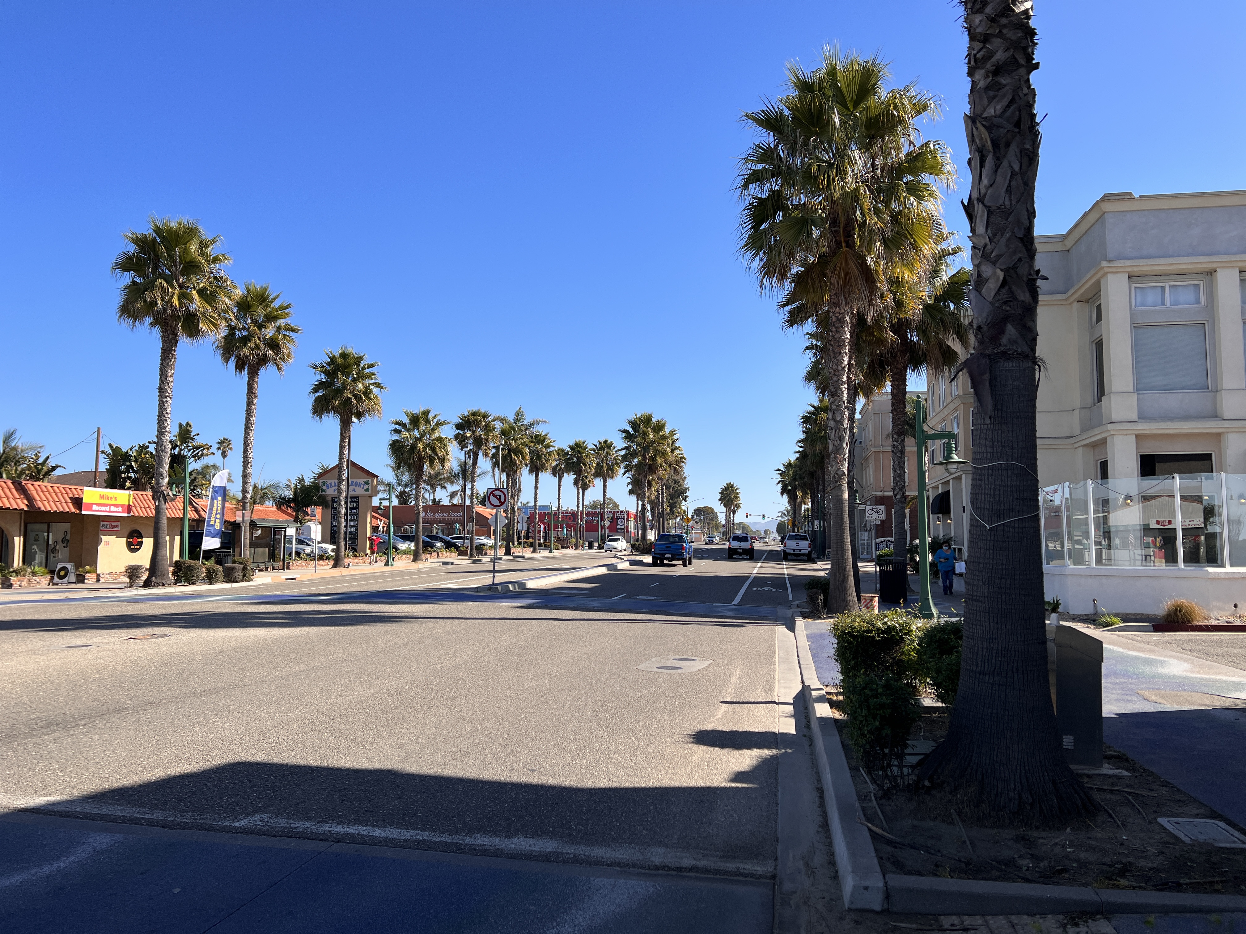
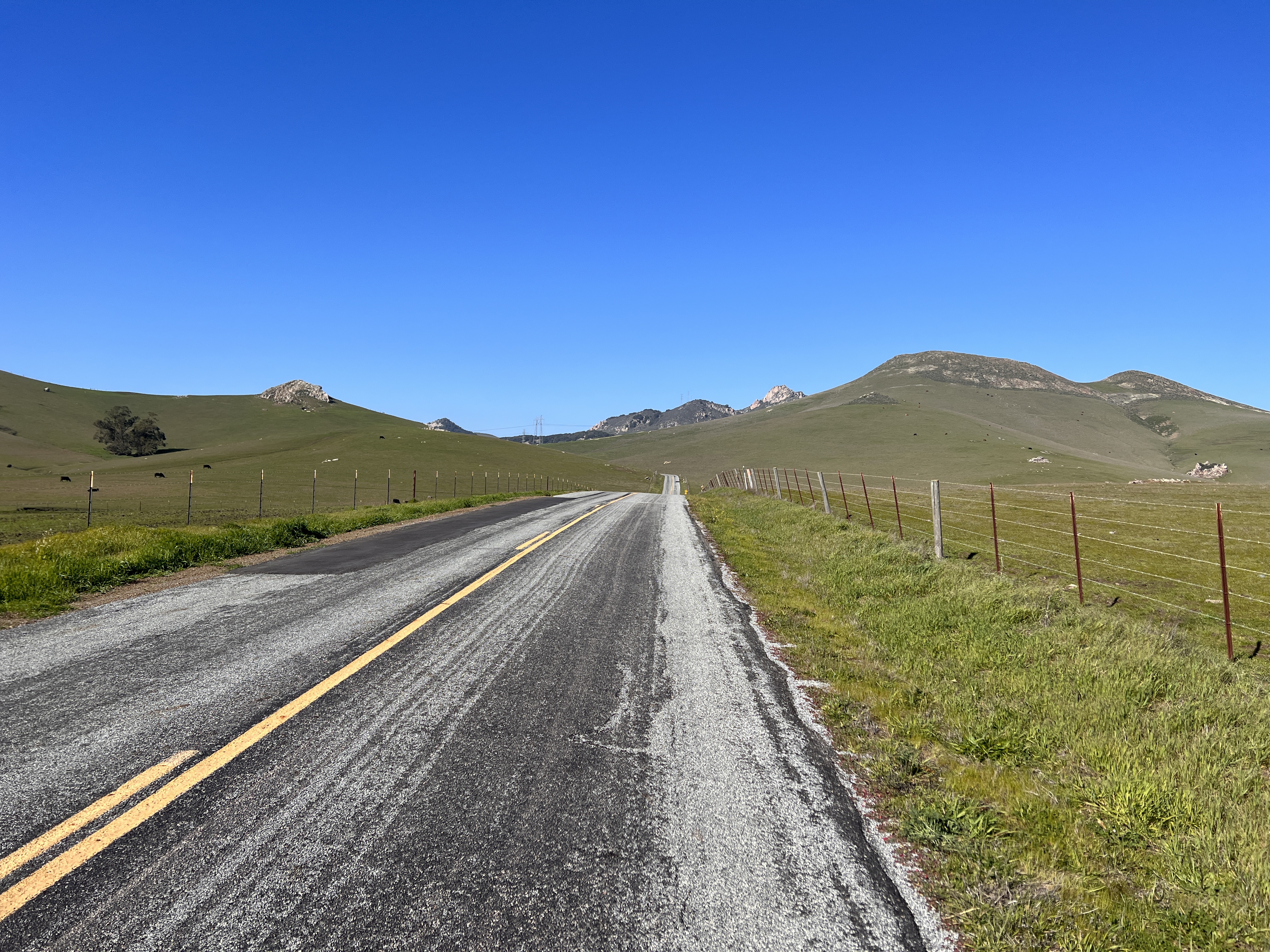
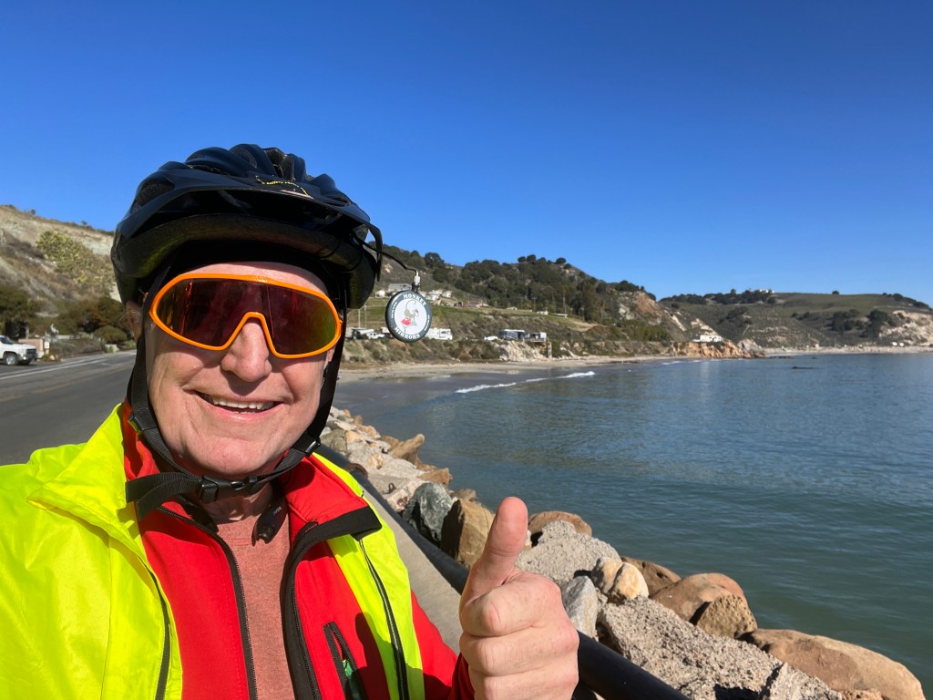
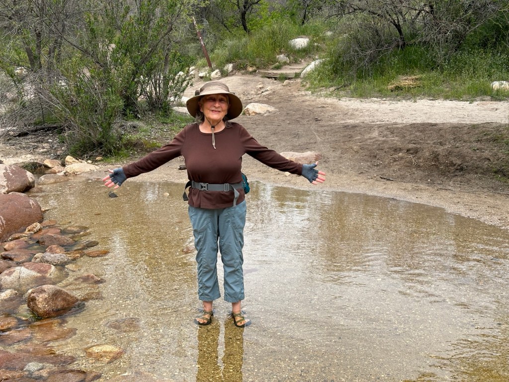
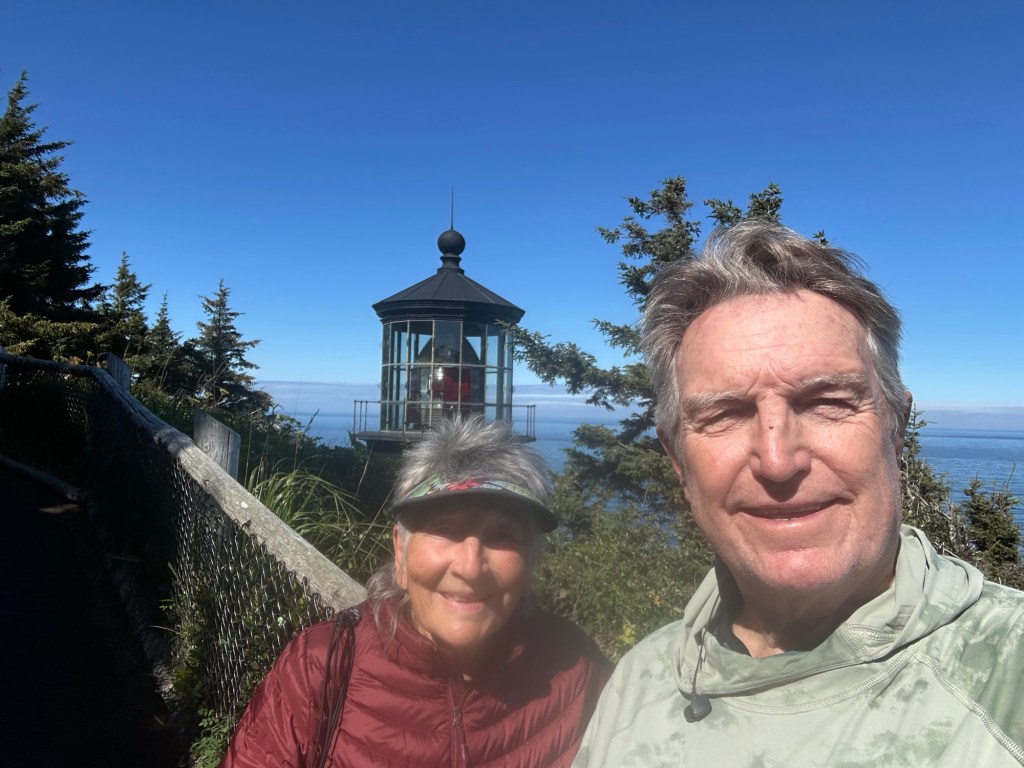
April —- a few more days of cycling and walking in McDowell Mountain saw us canceling the Grand Canyon part and heading for Colorado river only to find way too many speed boats loudly driving river all day long. So we bolted after 2 nights and headed over thru Carrizzo Plain to Morro Bay for a belated birthday visit. Loved it. End of May saw me in Gualala on the north coast of CA for Ananda Velo bike trip with the guys


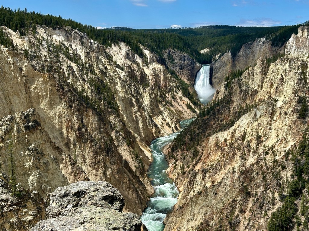
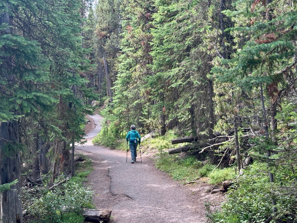
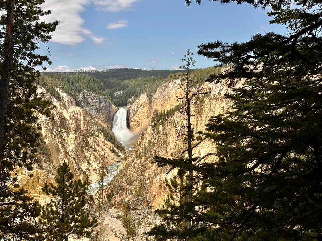
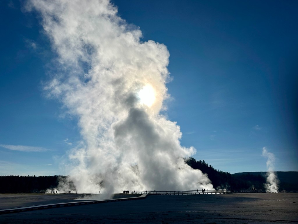
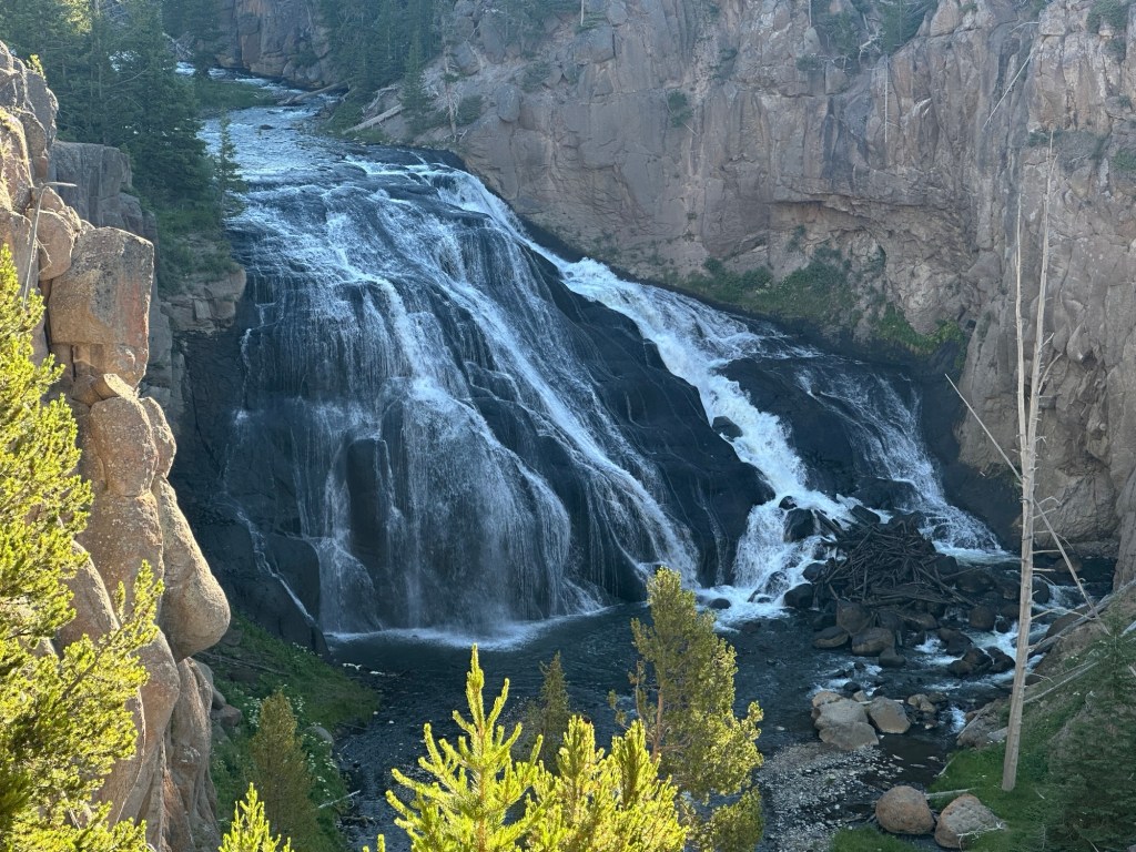
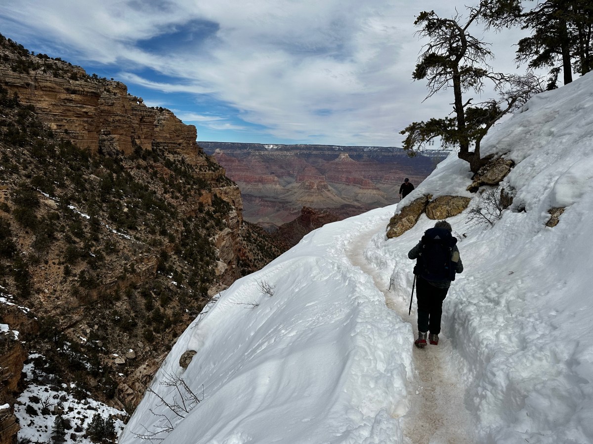
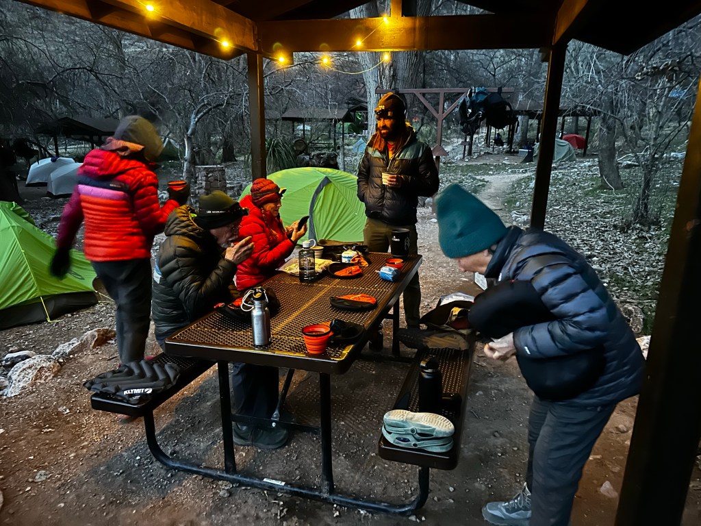
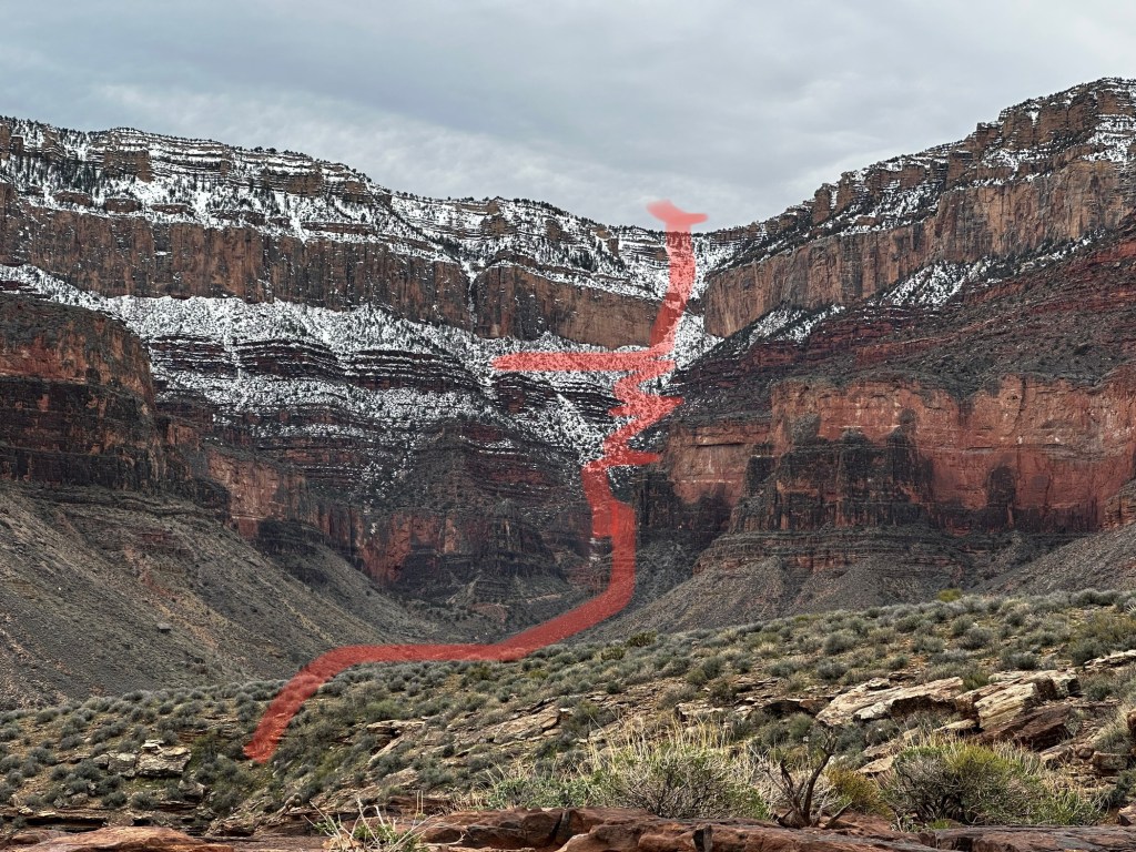
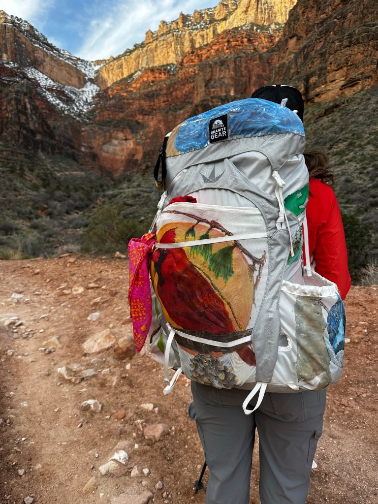
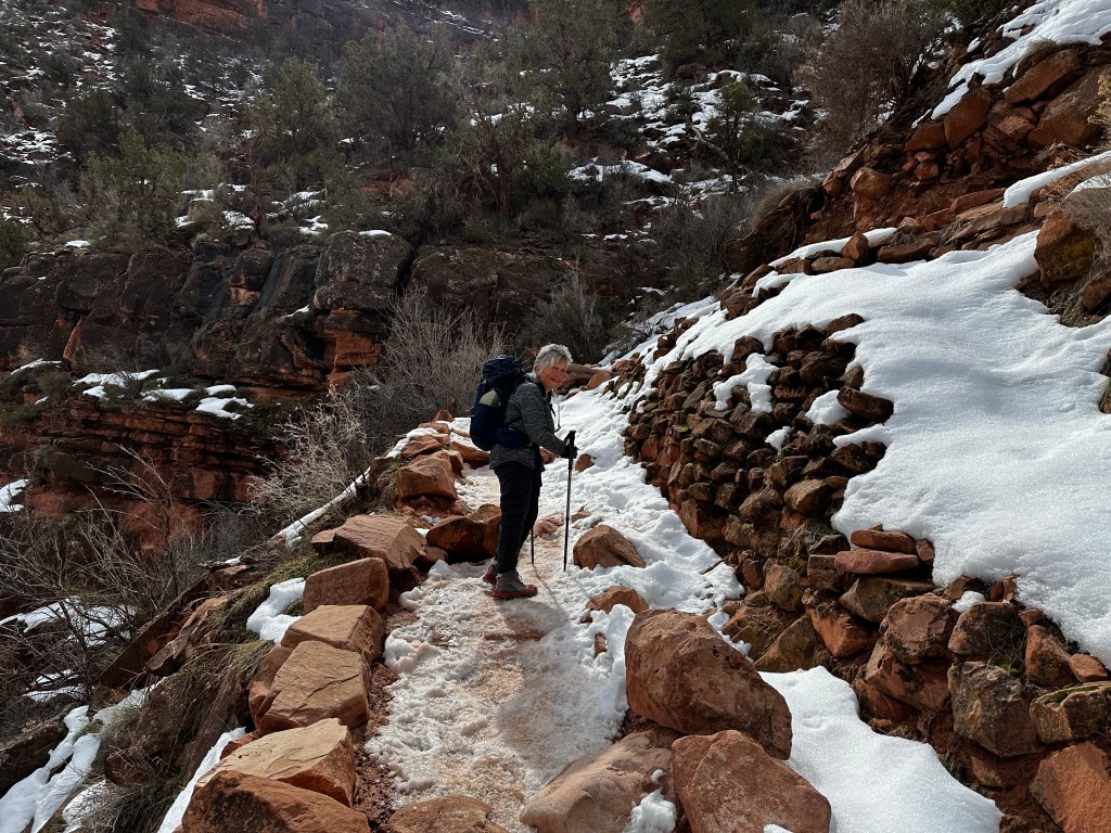
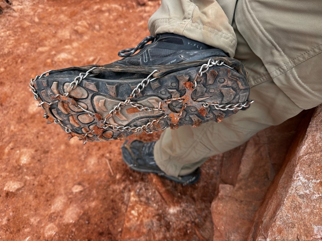
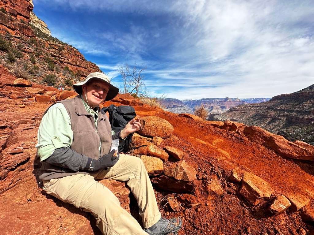
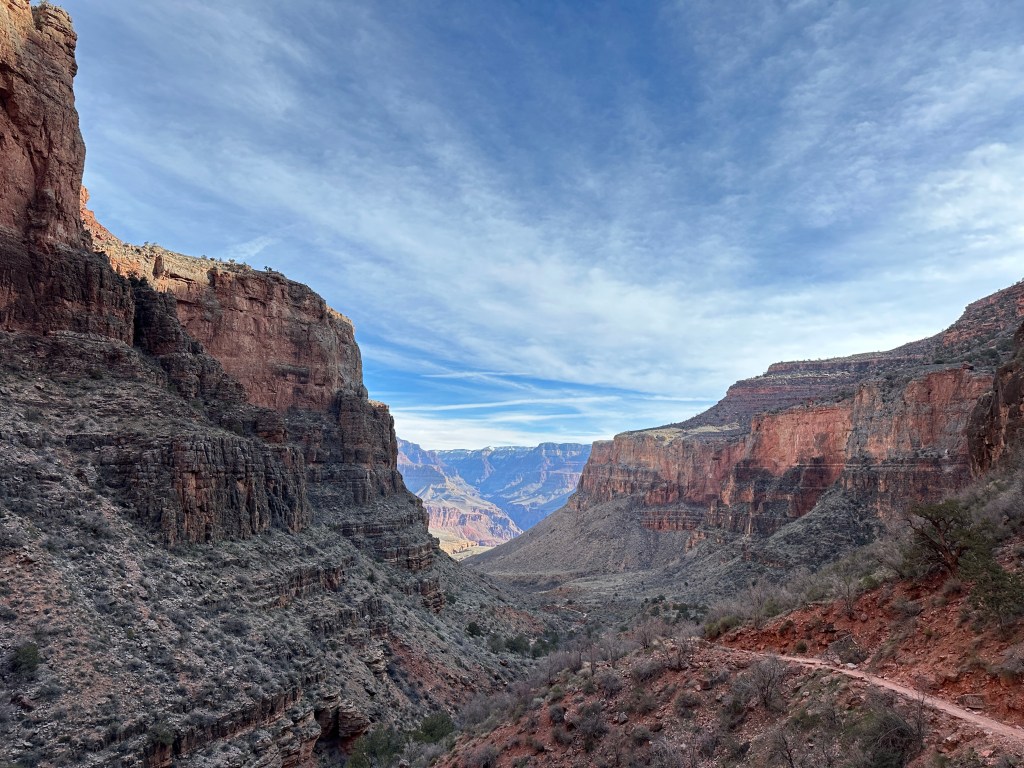
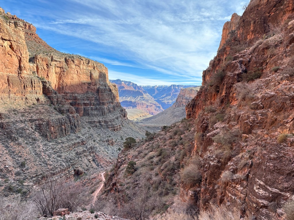
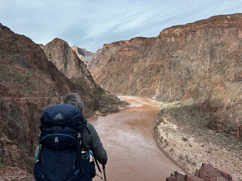
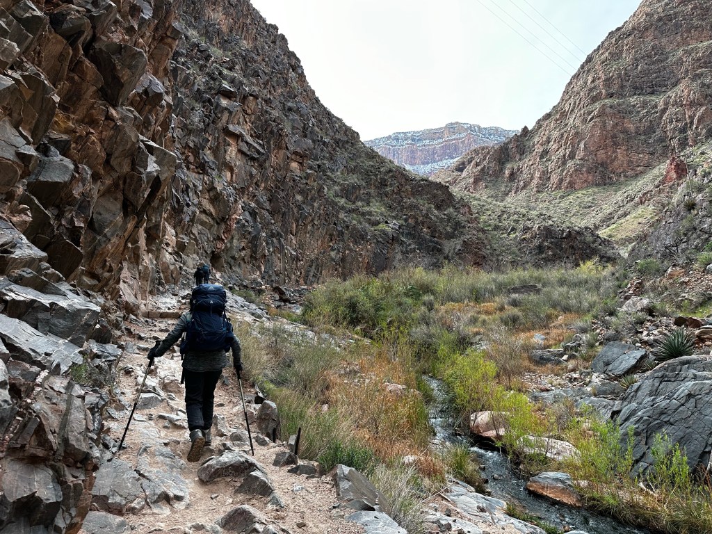
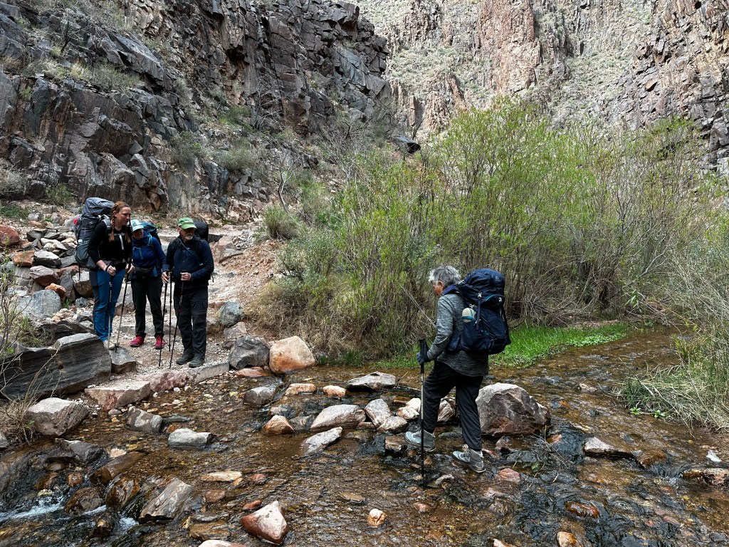
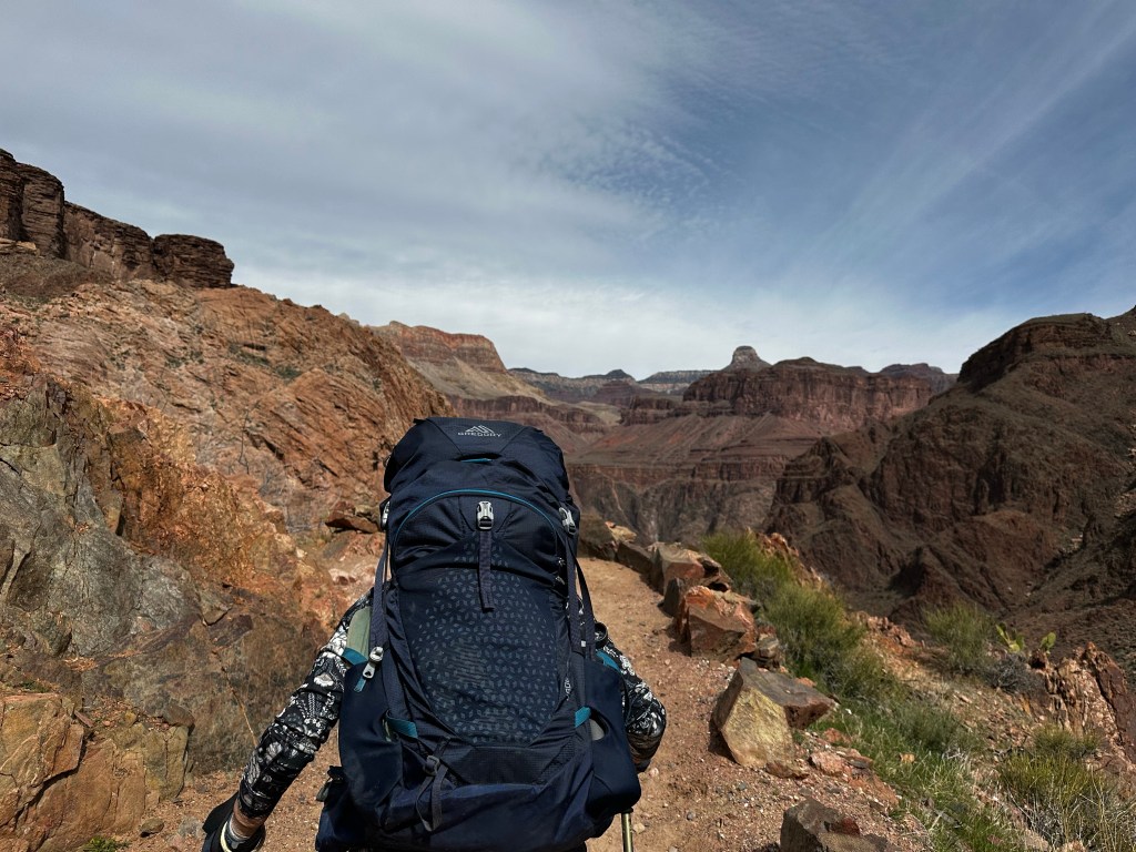
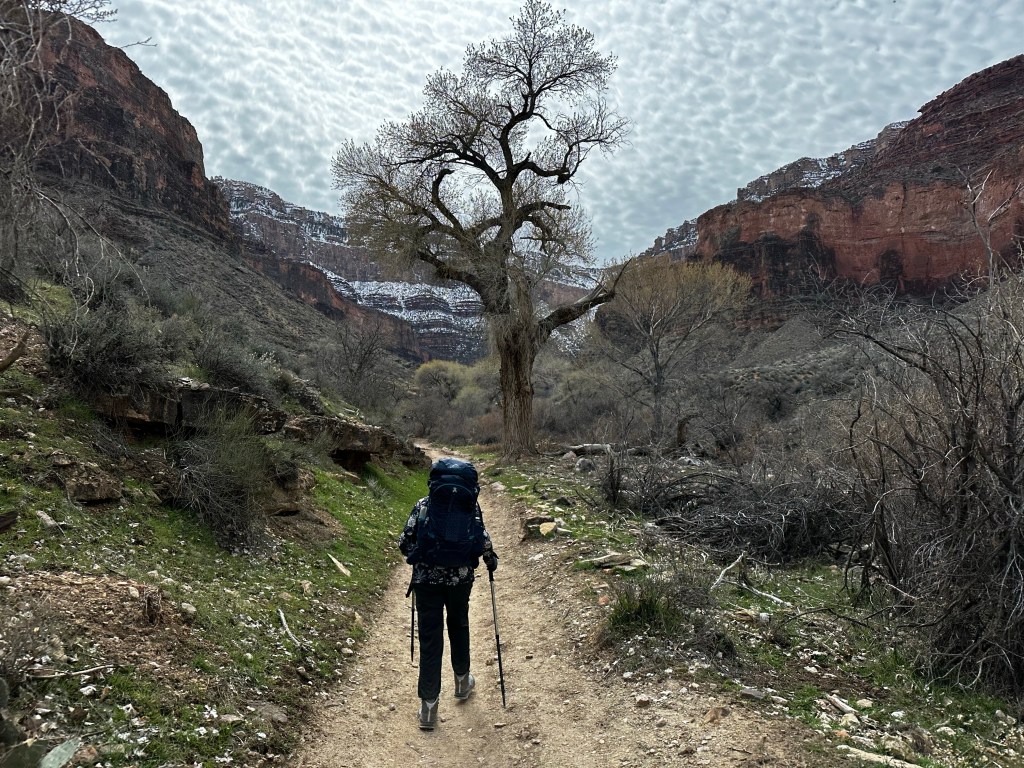
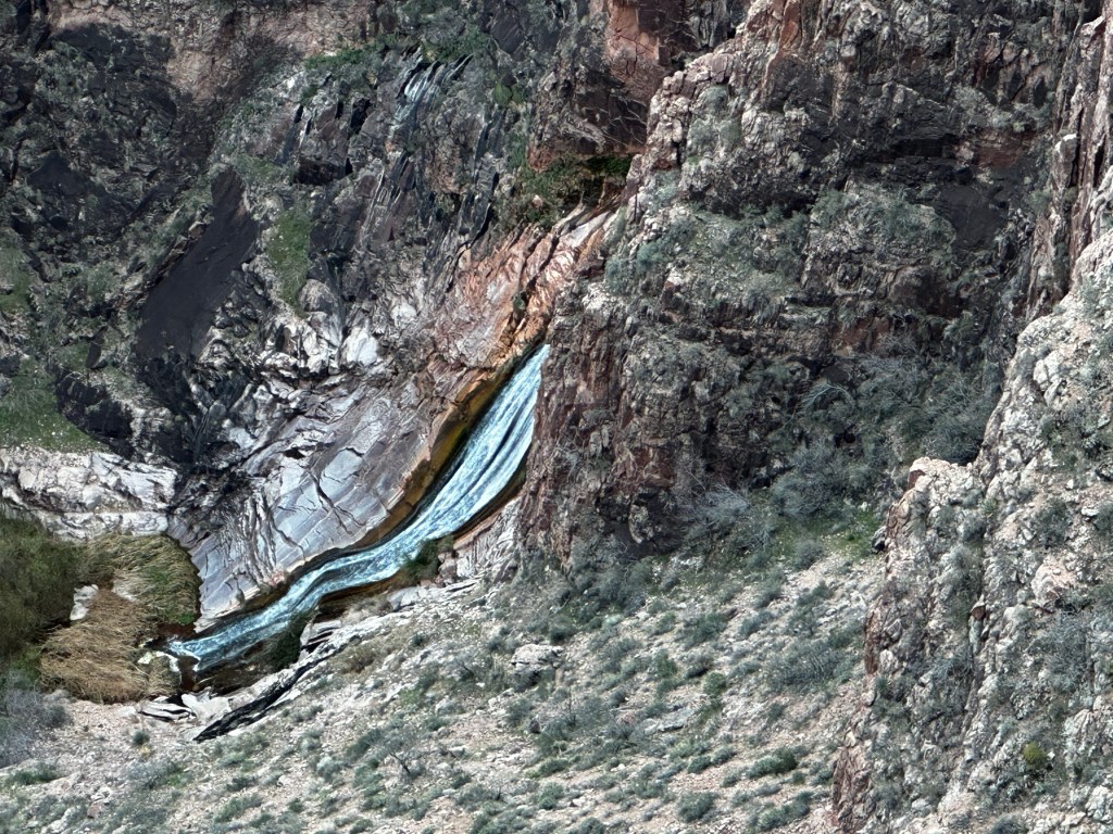
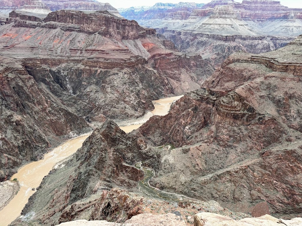
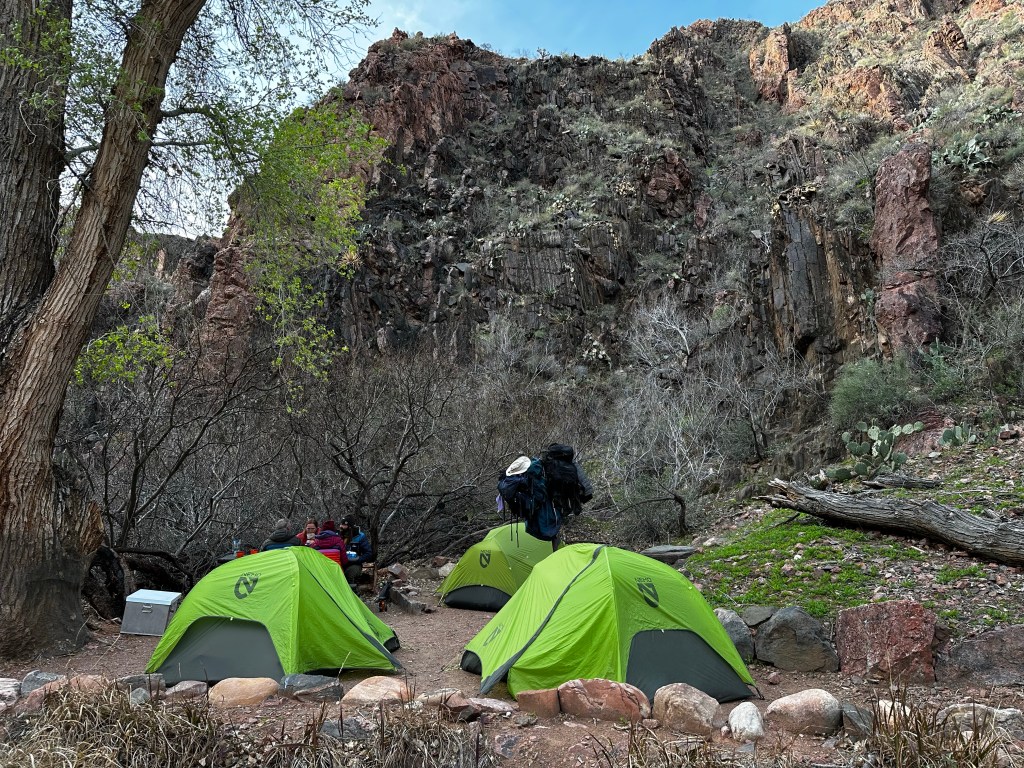
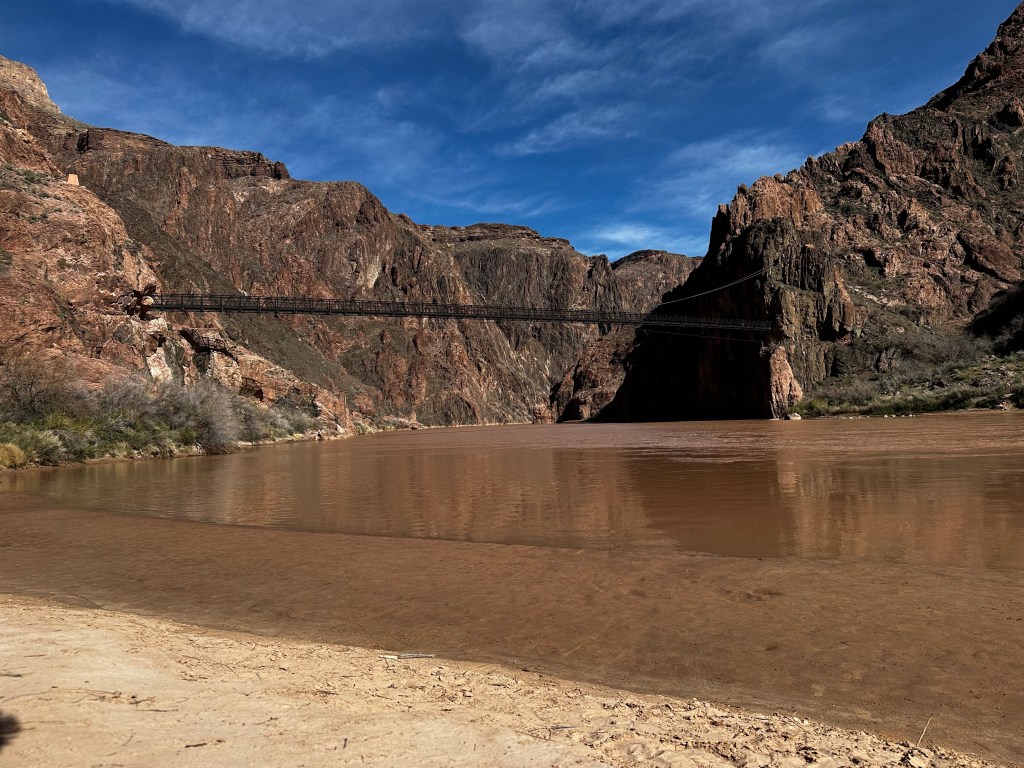
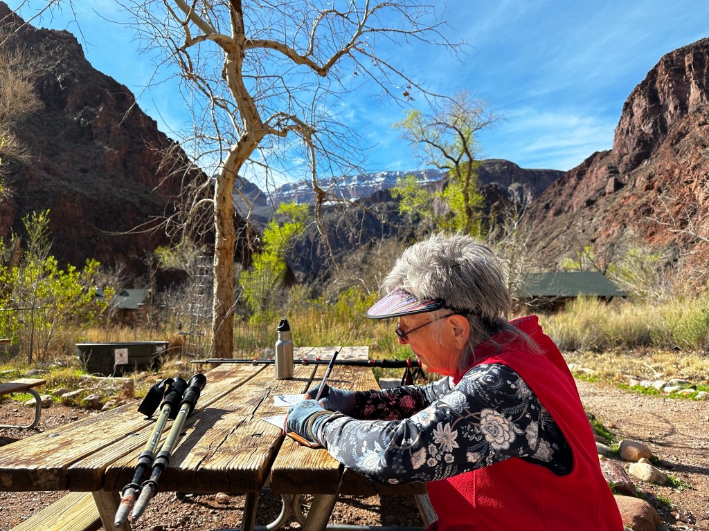
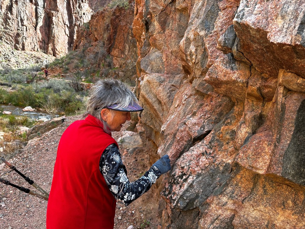
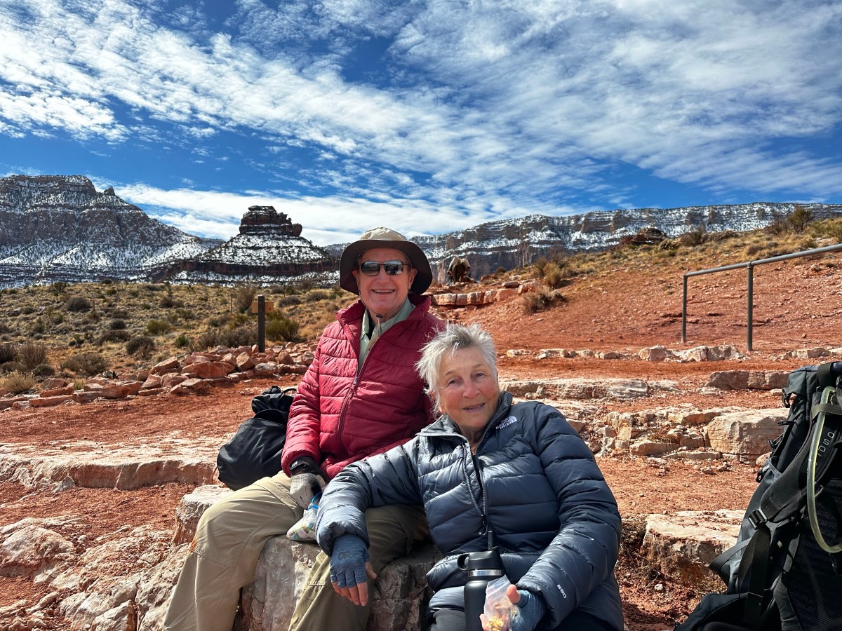
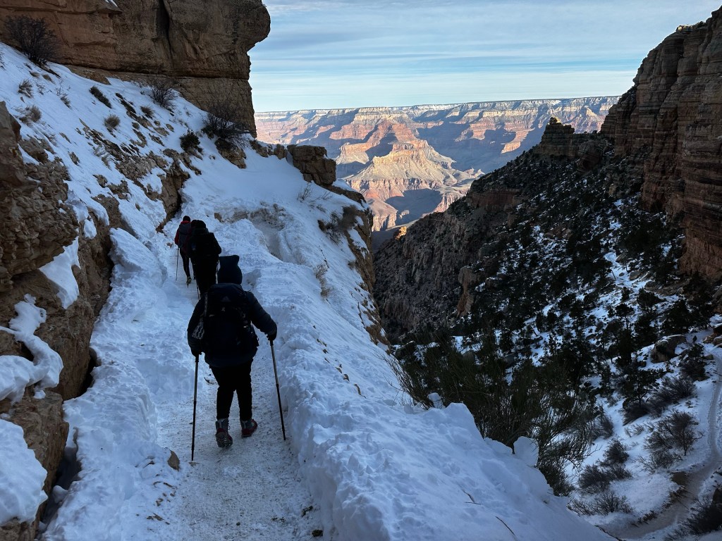
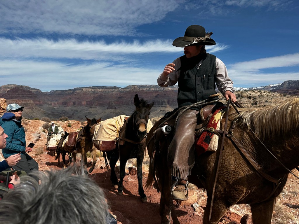
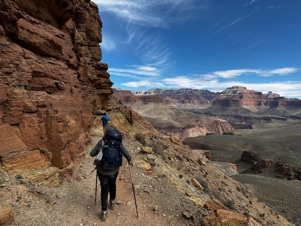
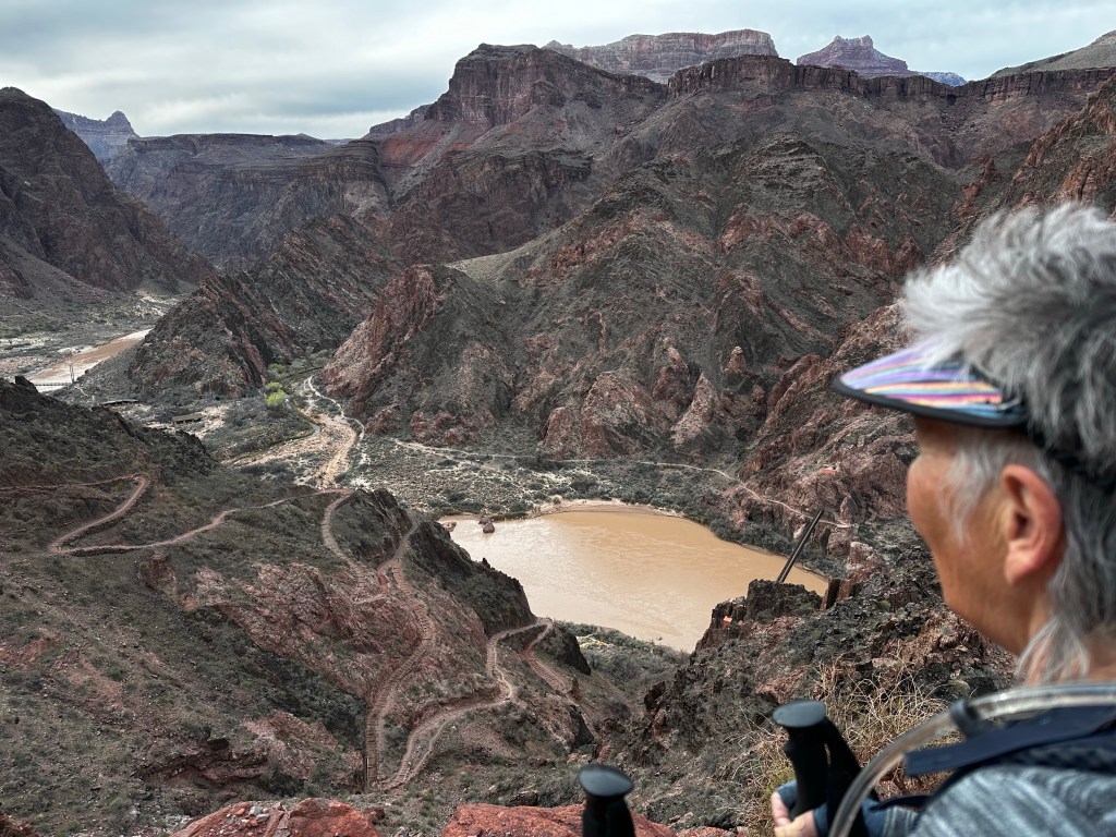
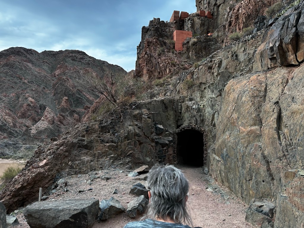
May —. Began on North Coast then back home then a spontaneous trip to Grand Canyon since we got snowed out in March. Spent last week of May including Memorial Day camping hiking, ogling, and cycling.

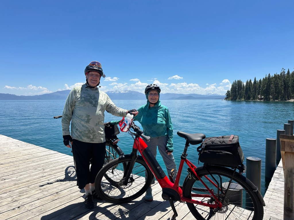

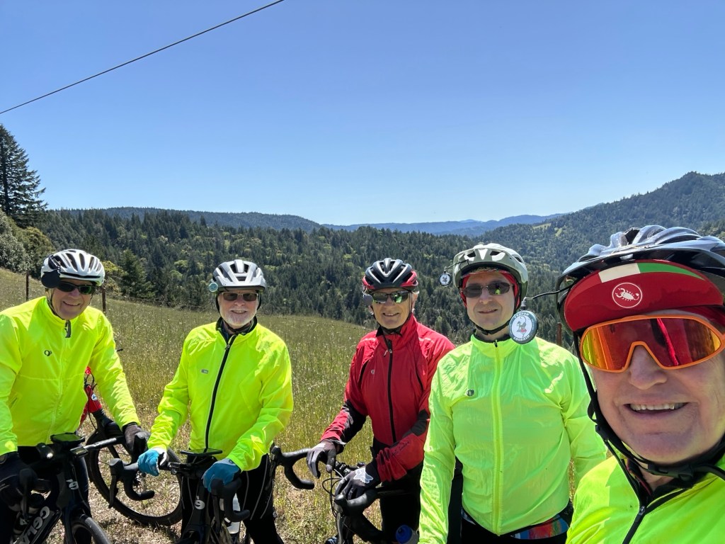
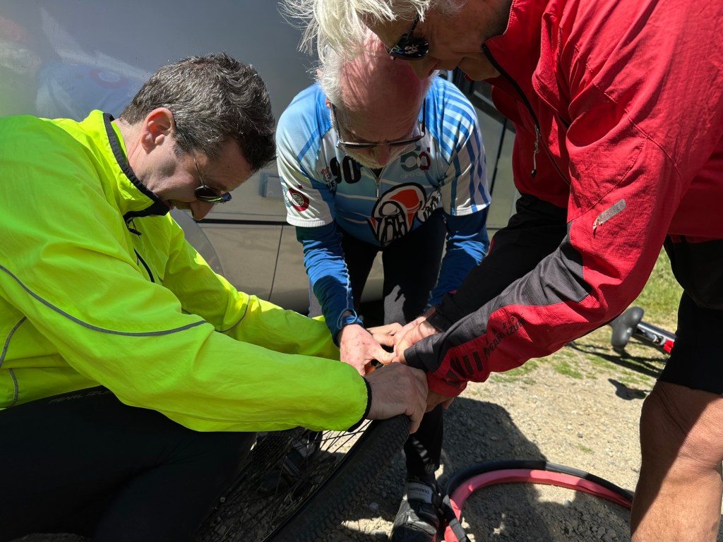
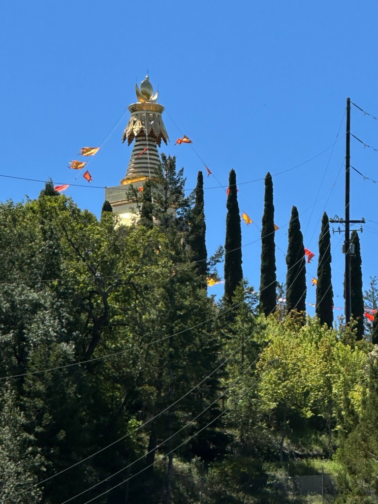
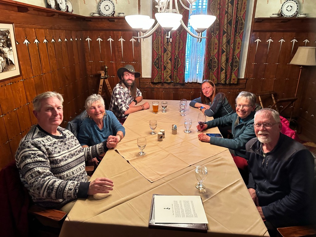
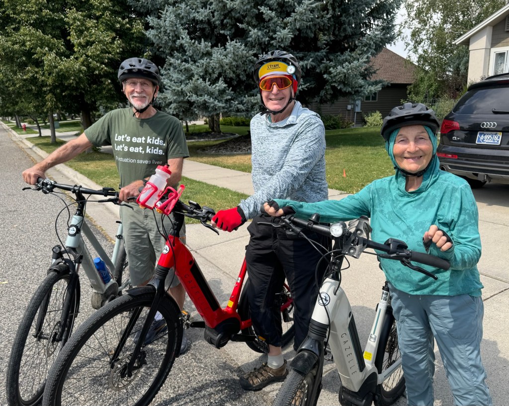
June — Did the Nevada County Gold Country Bike ride. 54 miles. Then also 50 mile RT Downieville to YUBA Pass. Then Up to Truckee area for a few day at elevation to enjoy the Tahoe area. Sraddha and I cycled 25-40 miles every day of trip. End of month was Ananda Village’s annual weeklong Spiritual Renewal week. Many guests from all over the world come for this event and we spend a lot of the week helping out in various capacities.


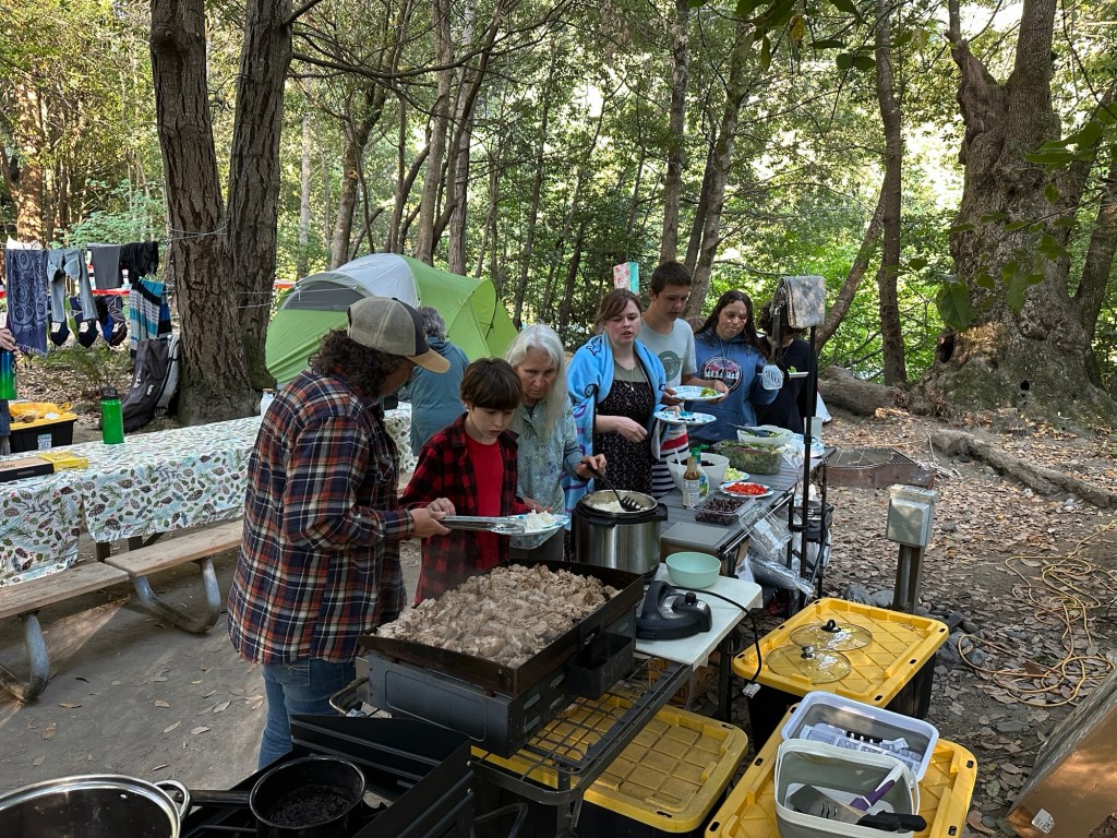
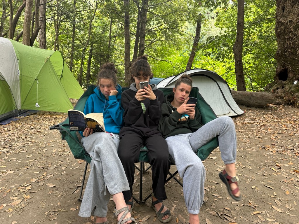
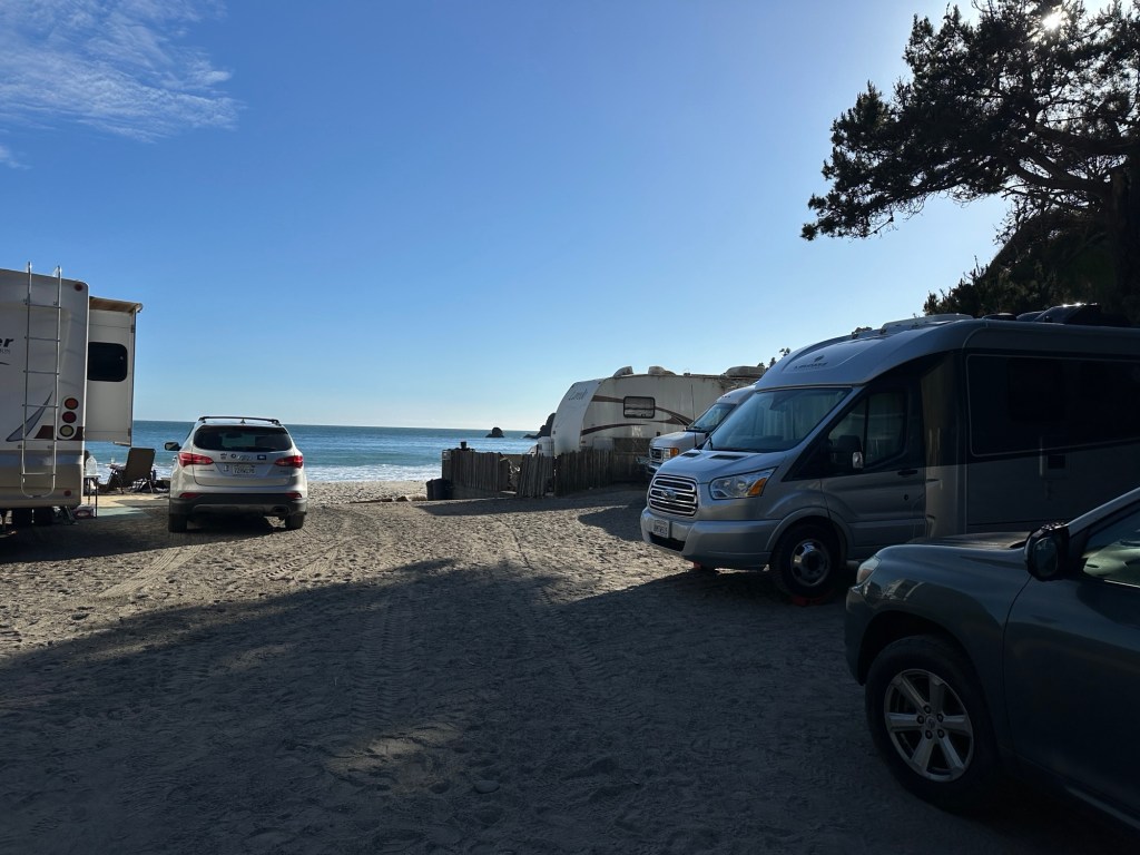
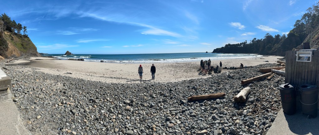
July — Annual “gathering of the herd” as i like to call it. Sraddhs’ sister’s family gathers for a week in July and we usually join them for a few days. This year it was in Loeb State park in southern Oregon coast. We drove up North coast and stayed in the Redwoods first for a few days then afterwards ventured up to Nehalem Bay and Netarts and then back down the coast via Bullards Beach and home. Almost 3 weeks of travel


August — first half of August busy at home serving and other responsibilities. Last part was an impromptu trip via car to Bozeman, MT, for a rendezvous with the Nunn family, my cousin Tom and his daughters and families. A total blast. We will be returning.


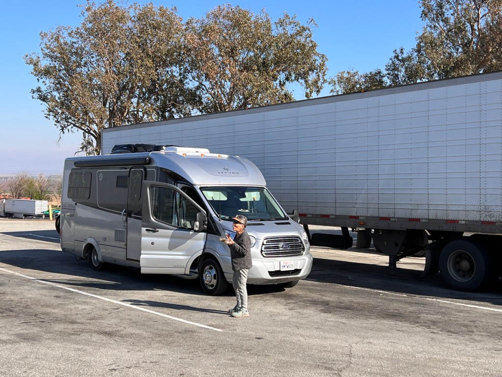
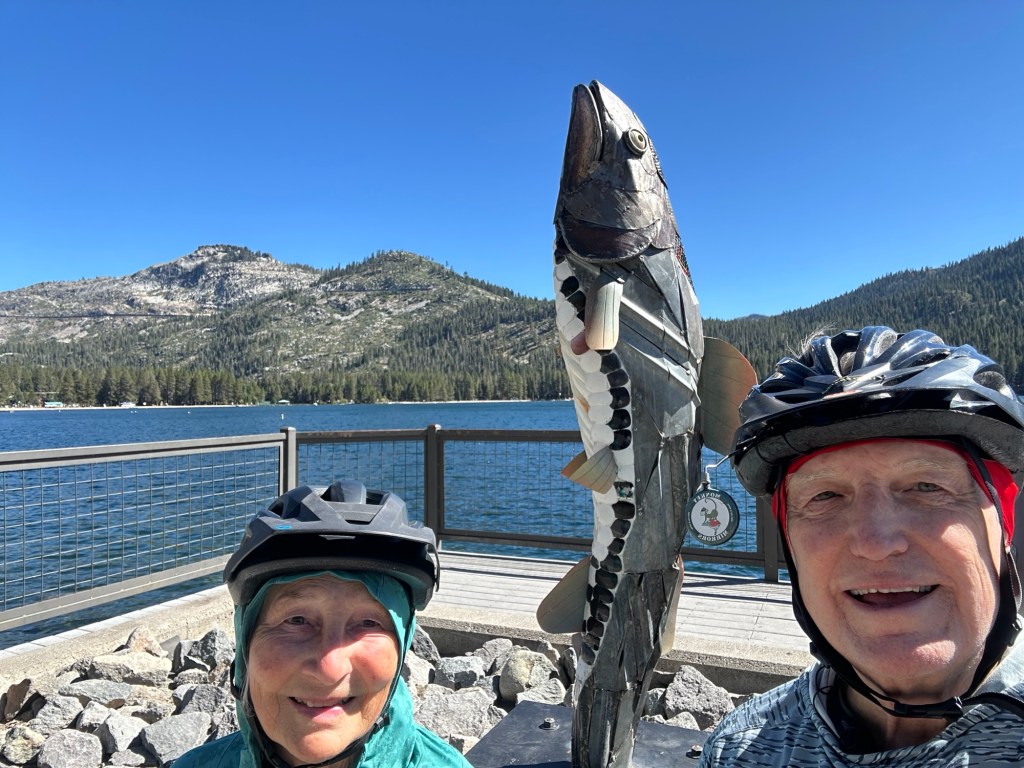
September — back up in Tahoe Truckee area for a few few more refreshing days of cycling before the snow sets in. As i look at my months calendar it is packed with visits, meetings etc. End of September we head north again to Portland for some specialized service on our camper van. Need an outside baggage door repaired. Had the starboard side repaired here last summer and now the port side needed hinge replaced. So up we go. Then headed across Oregon and Idaho thru Sun Valley area to Salt Lake Utah to see nephew and family. The down to Goblin Valley Utah. Amazing place. And over to Moab and Dead Horse point state park
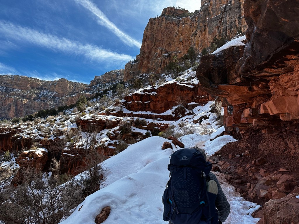
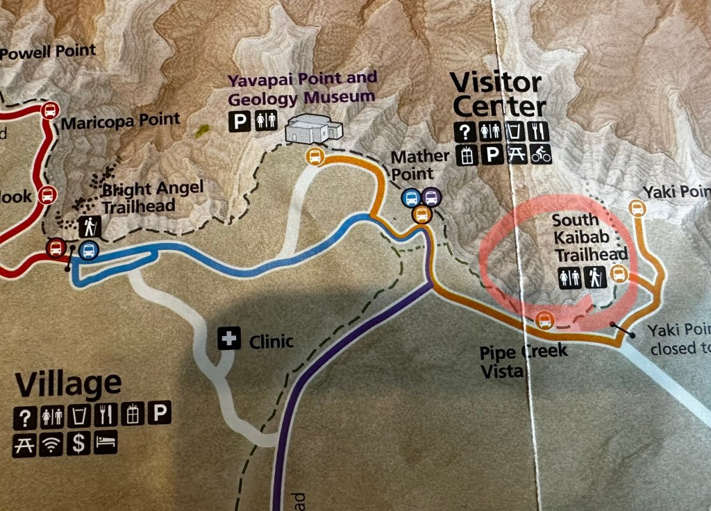
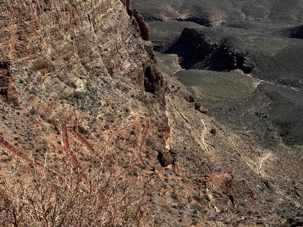
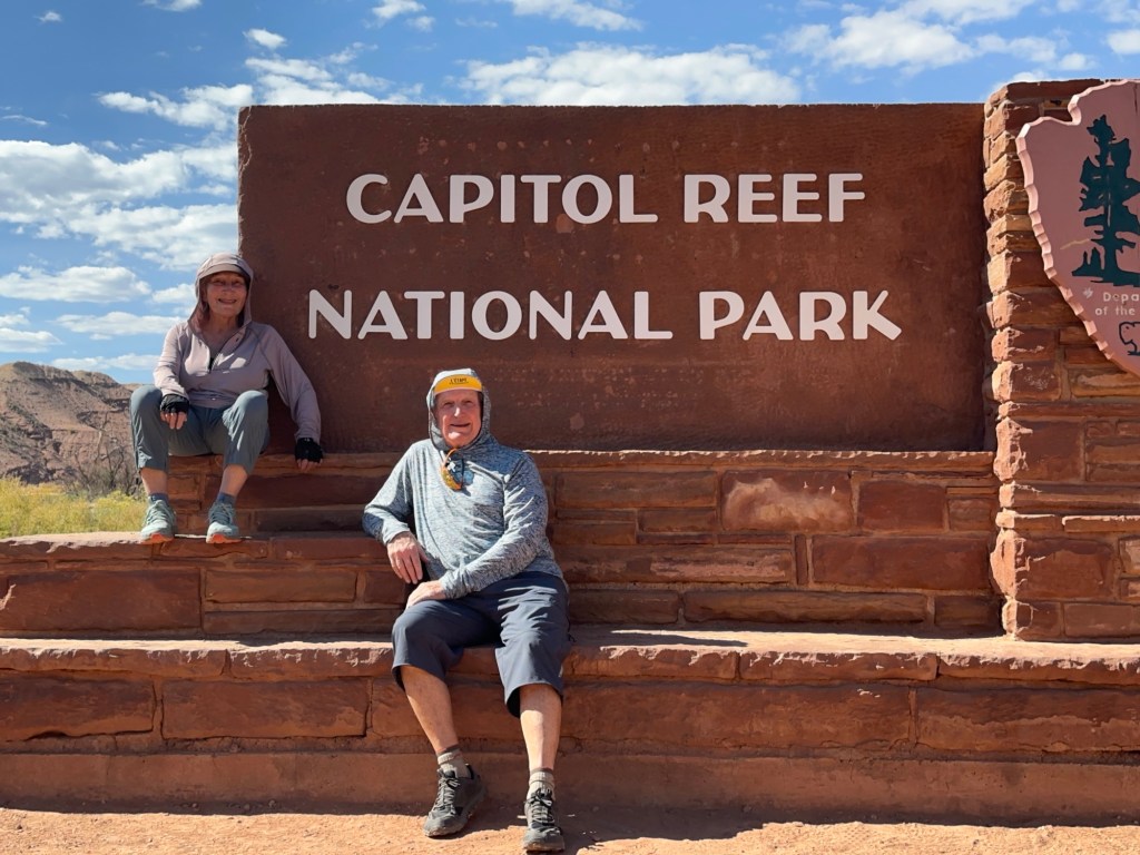
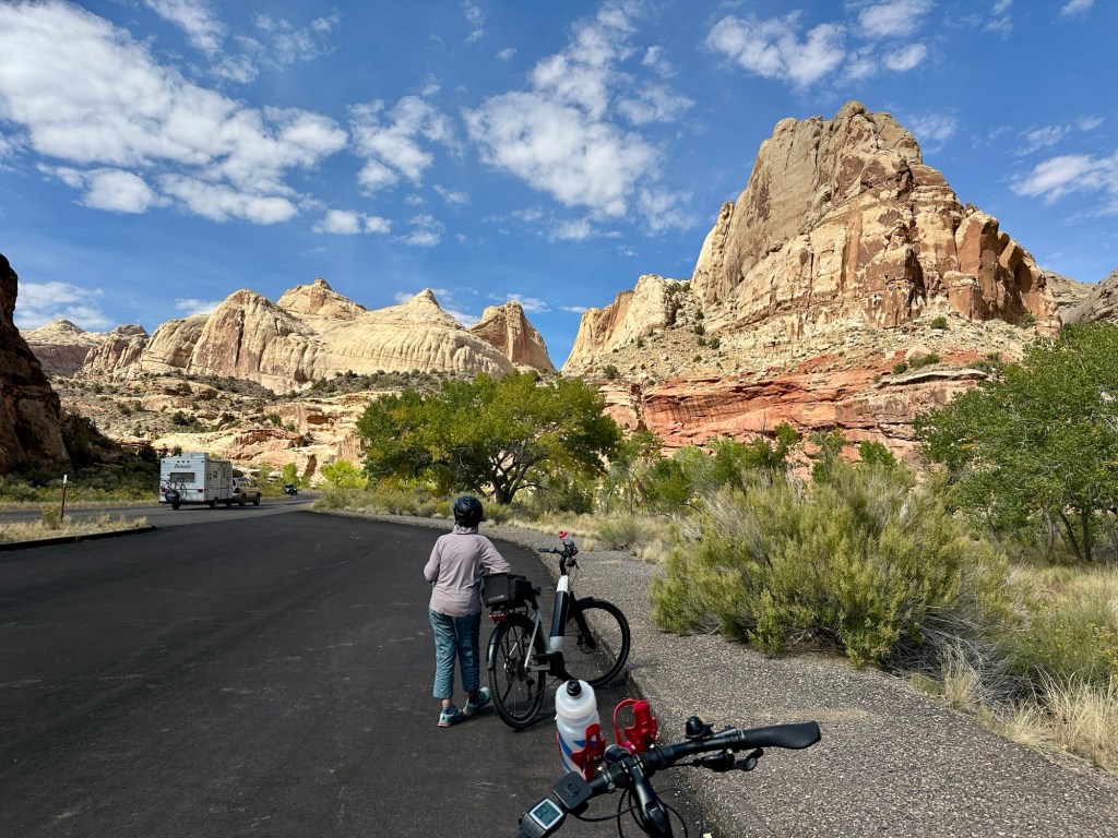
October— we hit 6 National Parks in 2 weeks. All of them! Including North Rim of Grand Canyon. This was the big trip of year! In order, Canyon Lands, Arches, North Rim, Capital Reef, Bryce and Zion! Plus we encamped Dead Horse point SP next to Canyon lands, and Kodachrome Basin SP at the base of Bryce. Escalante Petrified SP near Escalante Staircase Otherwise stayed inside the other parks in their respective campgrounds. Fun cycling every location and one highlight at Dead horse point was using a Starlink Satellite dish to watch UW Huskies beat Michigan. (No cell service there).

November — pretty much stayed home for rest of year. We needed the time to recoup and enjoy the fall, cleaning yard for winter and spending time with friends.
December — is a deep time here spiritually. Many events and celebrations. December Kriya, World Brotherhood day, Christmas Concert, many good football games and cycling despite the cooler weather. No major snow events but it was a wet month. I maintained regular Pilates, Peloton, body work to manage the back and stay healthy. A lot of quiet time too.

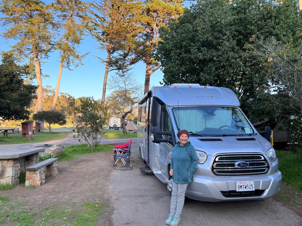
All in all a pretty good year considering how it began. 18 state parks, 6 national parks, several forest service campgrounds. And a few boondocks nights too. A year of van camping in a 7 month period. Recuperated from back issue to being able to ride 50+ miles in a day. Culminating in a restful quiet end of year. 2025 will have several van camping trips but 2026 may have others.